Travel Guide
Monsoon on the Annapurna Circuit: Is June–August Trekking Worth It?
SS
Sandeep Shrestha
11 min read
Sandeep Shrestha
Rain hammers the tin roof of a Bahundanda teahouse, the trail outside has turned to red mud, and a porter is scraping a leech off his ankle with a knife. This is the Annapurna Circuit in July and yes, people are still walking it. The question isn't whether the trail is open during monsoon. It's whether you are the right kind of trekker for what summer in the Annapurnas actually looks like.
Our field coordinators in Pokhara run trekkers through this region every monsoon, and we've watched the season's reputation swing between "impossible" and "secretly the best time to go." The truth sits between those extremes. Here's the honest breakdown.
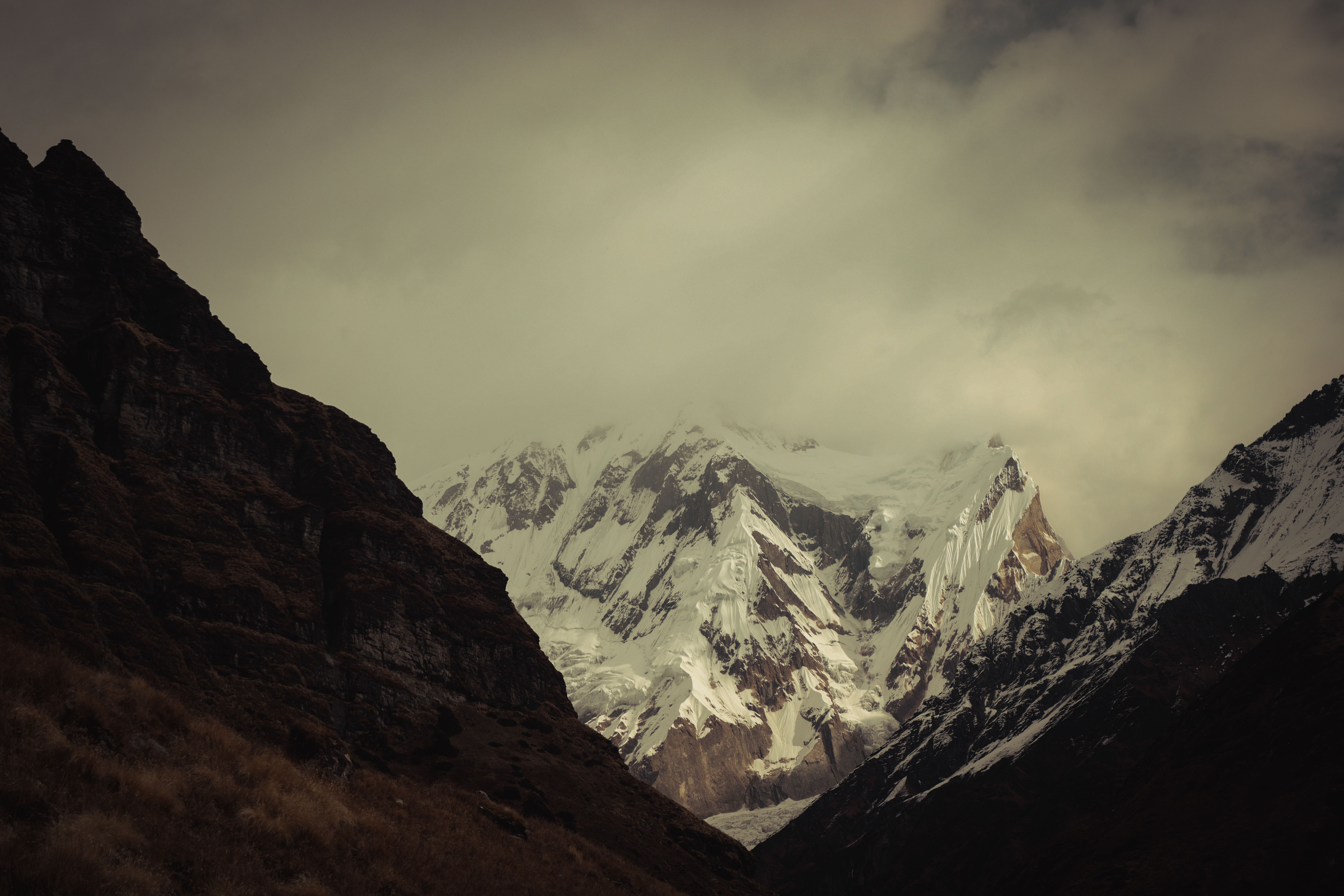
The Annapurna Circuit is passable from June through August. The lower elevations below Manang receive heavy rainfall, leeches, and landslide risk, while the upper circuit beyond Manang sits in the Himalayan rain shadow and stays surprisingly dry. Cloud cover blocks mountain views on most lower-elevation days, but high-altitude sections offer clear mornings.
Nepal's monsoon arrives from the Bay of Bengal in mid-June and tapers off by early September. It dumps roughly 80% of Nepal's annual rainfall during this window. But the Himalayas act as a wall, clouds release their moisture on the southern slopes and arrive bone-dry on the northern side.
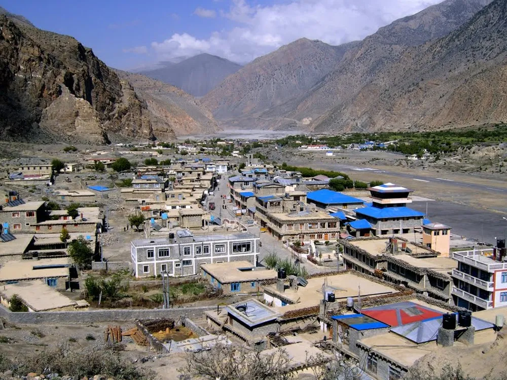
This matters enormously for the Annapurna Circuit. The trail begins in the wet, green lowlands near Besisahar (760 meters) and climbs through cloud forest, before crossing into the arid rain-shadow zone of Manang (3,540 meters) and Mustang district . By the time you reach Muktinath (3,800 meters) , you're essentially trekking through high desert.
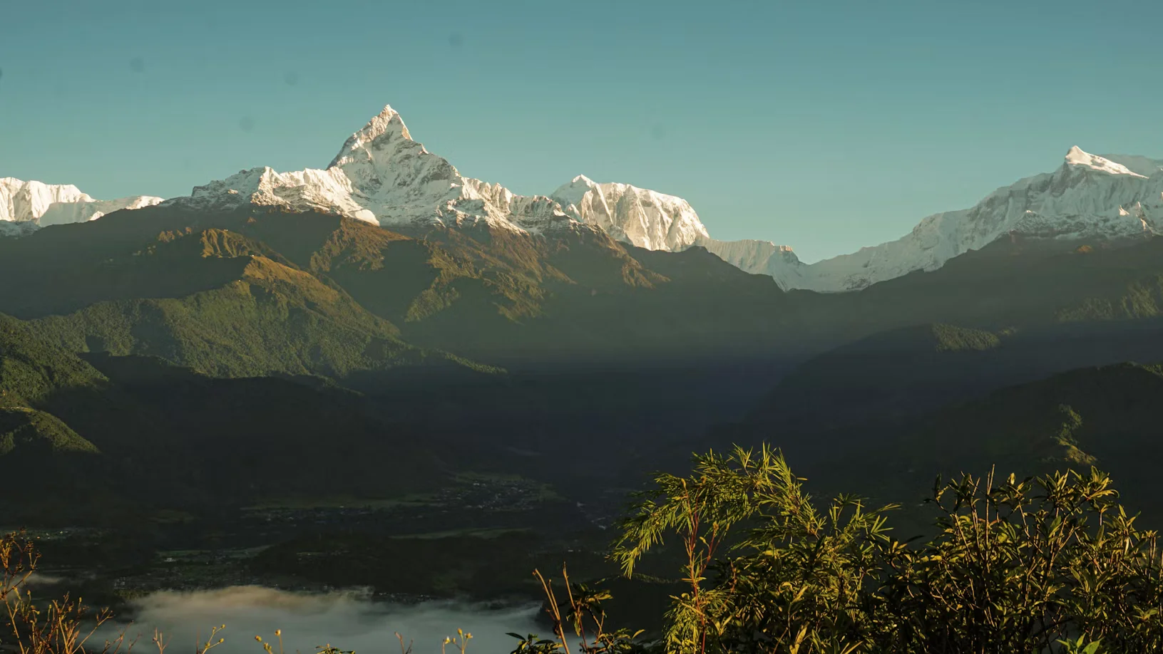
Upper Mustang and Upper Dolpo are the premier monsoon destinations in Nepal, but the upper Annapurna Circuit shares the same geographic advantage. From Manang onwards , daily rainfall drops dramatically. Many trekkers report dry afternoons, clear sunrises over Annapurna II and Gangapurna, and dust on their boots instead of mud.
The circuit splits into two very different experiences during monsoon. Knowing where the climate shifts helps you plan rest days, photography expectations, and gear loadouts.
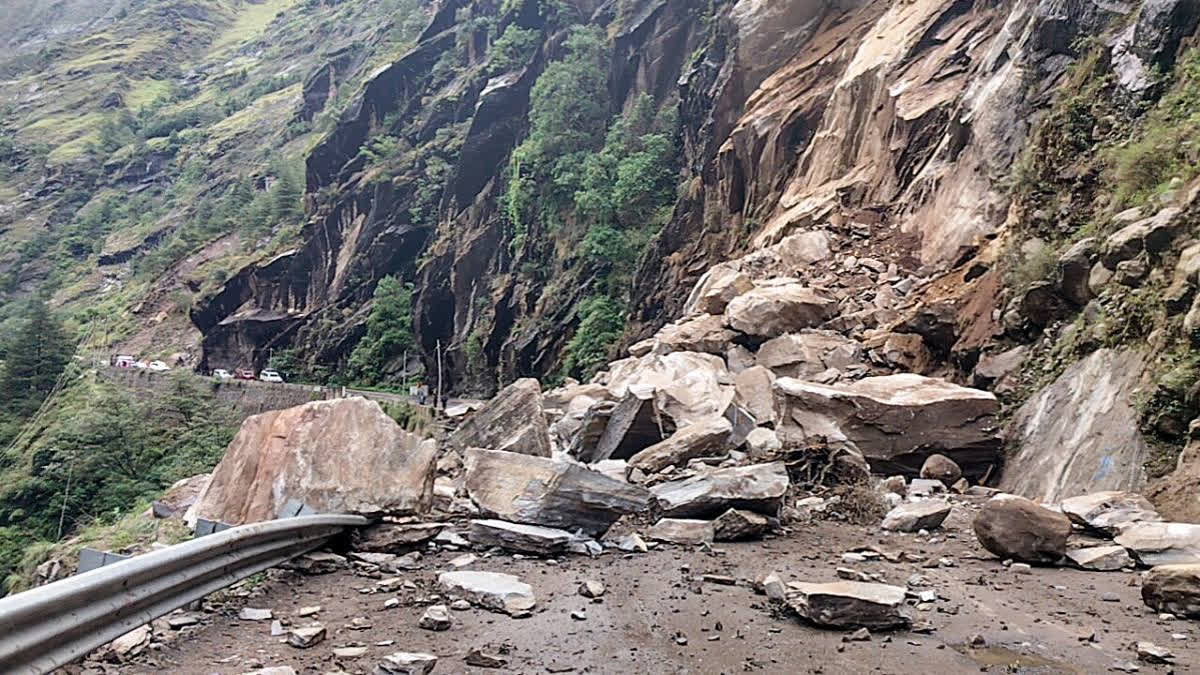
This is the genuine concern, and we don't sugarcoat it. The lower Marsyangdi valley between Besisahar and Dharapani is geologically active. Saturated hillsides give way after sustained rain, and the road sections used by jeeps can be blocked for hours or days.
Our team in Pokhara checks landslide bulletins from the Department of Hydrology daily during monsoon. We strongly recommend walking the NATT trails (New Annapurna Trekking Trails) wherever possible, these footpaths sit above the dusty jeep road, offer better forest cover, and reduce vehicle traffic exposure. They also tend to be safer when the lower road washes out.
A licensed guide is non-negotiable here. They have WhatsApp networks with other guides on the trail and can re-route you through alternate villages or arrange a jeep transfer past the affected zone. Solo trekking is also no longer legal in this region since April 2023 , the Nepal Tourism Board mandates a licensed guide for all foreign trekkers in conservation areas.
The Annapurna Circuit requires two permits, both of which can be obtained in Kathmandu or Pokhara within an hour. Bring two passport photos and a photocopy of your passport.
Nepal tourist visas remain $30 USD for 15 days , $50 USD for 30 days , and $125 USD for 90 days , available on arrival at Tribhuvan International Airport.
The lower trail in monsoon is a leech zoo. They drop from leaves, climb up boots, and find the one gap between your sock and gaiter. They're harmless but unsettling. Here's what our guides actually carry:
Skip bottled water. The waste piles up in remote villages, and plastic recycling on the circuit is nearly nonexistent. Use a reusable bottle paired with a Sawyer squeeze filter, UV purifier, or chlorine dioxide tablets. Streams are abundant in monsoon, but they're also more contaminated with runoff, so active purification is non-negotiable.
Monsoon doesn't change altitude physiology. Above 3,000 meters , your sleeping elevation should not increase by more than 300-500 meters per day , and you need an acclimatization rest day at Manang (3,540 meters) before pushing toward Thorong La.
Wet weather actually complicates AMS recognition because trekkers often mistake fatigue and headaches for rain-related discomfort. Listen to your body. Your insurance must explicitly cover helicopter evacuation up to 6,000 meters and treatment for AMS, HAPE, and HACE.
ATMs end at Jomsom . Beyond that, carry enough Nepalese Rupees in small denominations for the rest of the trek. Expect to pay extra for monsoon-specific services at teahouses:
Eat Dal Bhat at lunch and dinner. It's freshly cooked, vegetarian, comes with free refills, and gives you clean carbohydrate fuel without the risk of poorly stored meat carried up by mule for days. Stick to vegetarian meals throughout meat at altitude during monsoon is a stomach roulette you don't want to play.
Ncell has strong coverage across nearly the entire Annapurna Circuit, including Manang and Muktinath. Pick up a tourist SIM at Kathmandu airport for around NPR 1,500 with a generous data package. Nepal Telecom (NTC) also works but is more useful in the Everest and Manaslu regions. Heavy storm cells can knock out signals temporarily, especially in narrow valleys.
Monsoon is harvest season in the lower valleys and a quiet ceremonial period in upper villages. You'll likely walk past mani walls, chortens, and small monasteries in Manang, Braga, and Kagbeni. Always pass these on the left side, keeping the structure on your right, and walk clockwise around any stupa or prayer wheel cluster.
Remove shoes and hats before entering any monastery. Photography inside prayer halls is prohibited unless a resident monk gives explicit permission. The 900 year old gompa at Braga is particularly worth a respectful visit on your Manang rest day.
Honestly? It depends on what you want. If you want guaranteed mountain views and crisp blue skies, wait for October. If you want empty trails, cheaper lodges with rooms always available, vibrant green rice terraces, wildflowers above 3,500 meters, and a genuine sense of having the mountains to yourself, monsoon delivers in ways autumn cannot.
Photographers should consider it for the dramatic cloud play alone. Cultural travelers will find villages relaxed and welcoming rather than overrun. Budget trekkers will negotiate better room rates at empty teahouses.
Tipping at the end of the trek is culturally expected and forms a vital part of guide and porter income. A standard guideline across our marketplace is 15%–20% of the total trek cost, distributed among the crew with the guide receiving the larger share. Hand it over in an envelope on the final evening with a thank you.
Yes, the circuit remains open June through August. Lower sections are wet and leech-prone, but upper sections beyond Manang sit in the rain shadow and stay relatively dry.
Generally yes, since the pass at 5,416 meters lies in the rain shadow. However, sudden snowfall can close it. Check conditions with your guide the day before crossing.
Yes, on lower forested sections between Besisahar and Chame. Use gaiters, salt, and DEET-based repellents. Leeches disappear above 2,500 meters .
Yes. Since April 2023, all foreign trekkers in Nepal's conservation areas must hire a licensed guide. Solo trekking is no longer permitted on this route.
Domestic flights face frequent delays due to low cloud cover. Build at least one buffer day, or use the tourist bus as backup.
Ncell coverage is strong across most of the circuit, including Manang and Muktinath. Heavy storms cause temporary outages, but connectivity is reliable in villages.
Get travel ideas and local experiences from My Easy Guide in your inbox.
Spam free. Unsubscribe anytime. We respect your privacy.