Travel Guide
Pokhara to Muktinath Tour by Jeep 2026: The Ultimate Road Trip Guide (Cost, Route & Tips)
PT
Prabesh Tamang
14 min read
Prabesh Tamang
The Pokhara to Muktinath jeep tour is one of those rare Nepal road trips where the journey genuinely competes with the destination. You climb from the subtropical foothills around Phewa Lake to the rain-shadow desert of Mustang in under 48 hours, crossing the deepest gorge on the planet along the way. We've been coordinating this route for clients across multiple seasons, and the realities on the ground in 2026 are very different from what older blog posts will tell you.
This guide cuts through the marketing fluff. Below you'll find current permit costs, honest road conditions, vehicle pricing in Nepalese rupees, and the small logistical details - battery charging fees, network coverage, where the squat toilets stop working, that determine whether your trip feels smooth or miserable.
A Pokhara to Muktinath jeep tour covers roughly 170 kilometers one way, climbing from 820 meters in Pokhara to 3,710 meters at Muktinath Temple. The standard trip takes 3 days and 2 nights, costs NPR 55,000 to NPR 75,000 ($415–$565 USD) for a private 4WD, and requires an ACAP permit. The route runs through Beni, Tatopani, Ghasa, Jomsom, and Kagbeni.
There are three ways to reach Muktinath: a short flight from Pokhara to Jomsom followed by a shared jeep, a multi-week trek along the classic Annapurna Circuit, or this overland jeep drive. Each has trade-offs.
Flights into Jomsom Airport are cheap on paper ($132 USD one way for foreigners) but operate only in narrow early-morning weather windows. Cancellations are routine, we've watched groups sit grounded for three consecutive days during shoulder season. The jeep route, by contrast, is weather-resilient outside the monsoon and lets you actually see the Kali Gandaki gorge transition from waterfalls and pine forest to wind-scoured high desert.
The trek is still the purist's choice, but with the road now reaching Muktinath itself, most pilgrims and time-pressed travelers opt for the jeep.
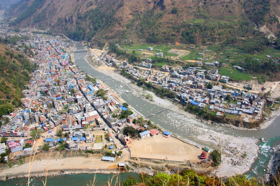
You leave Pokhara on the well-paved Baglung Highway, climbing past Naudanda before dropping into the valley to meet the Modi Khola near Nayapool. From there, the road hugs the river banks northward toward Kushma. This is the easiest part of the entire drive, black-topped, scenic, with tea stops at Naudanda and Kushma. The Kushma suspension bridge (Nepal's tallest at 344 meters above the river) makes a quick photo stop, and the bungee operation there has become a serious roadside attraction.
Beni itself is a working district headquarters town, fuel up here. It's the last reliable petrol pump before Jomsom, and the diesel shortage rumors that occasionally circulate are real enough to plan around.
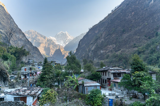
This is where the road quality drops. The Beni–Jomsom road expansion has been in active construction for years, and 2026 has brought fresh widening work starting immediately out of Beni at the Galeshwor checkpoint all the way up to Tatopani. Expect single-lane sections, dust clouds, and 20-minute waits behind excavators. The bumps here are jarring, anyone prone to motion sickness should sit in the front passenger seat.
Tatopani (1,190 meters) is named for its natural hot springs, and a 30-minute soak (NPR 150 entry) is genuinely worth the detour if your itinerary allows. Several teahouses offer dal bhat lunches in the NPR 450–600 range.
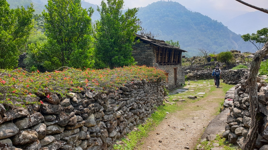
The road tightens against the Kali Gandaki river here, with the gorge walls closing in on both sides. You'll cross the unofficial threshold into the Annapurna Conservation Area proper, and the Ghasa checkpoint is where your ACAP permit get scanned. Have both ready in physical printout, phone signal here is patchy and the checkpoint officers prefer paper.
Golden Rule: Print copies of your ACAP permit before leaving Pokhara. Phone batteries die, screens crack, and a missing permit means being turned back at Ghasa. There is no on-site issuance for foreigners.
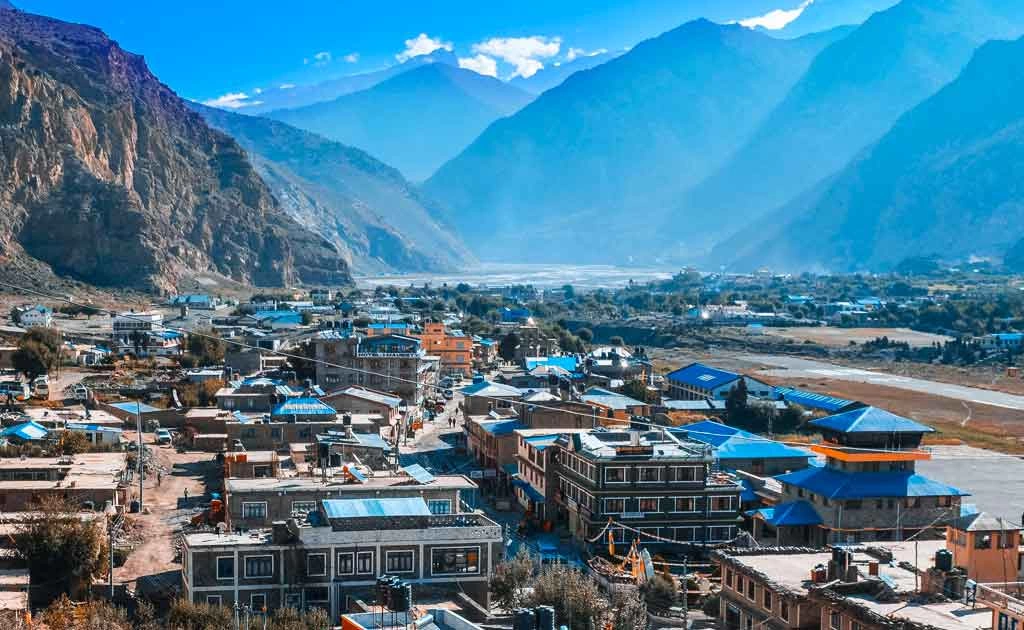
This is the most dramatic and roughest stretch. You climb out of pine forest into the apple-orchard belt around Marpha (2,670 meters), passing through Lete and Kalopani. The vegetation thins visibly. By the time you reach Tukuche, you're firmly in the rain shadow of the Annapurna and Dhaulagiri ranges, with the wind picking up after 11 AM almost daily.
Marpha is worth a stop. The whitewashed Thakali village is famous for its apple brandy (NPR 400–600 per bottle) and the traditional stone-paved main street. From Marpha, it's another 45 minutes to Jomsom (2,720 meters), the administrative center of Mustang and the standard overnight halt.
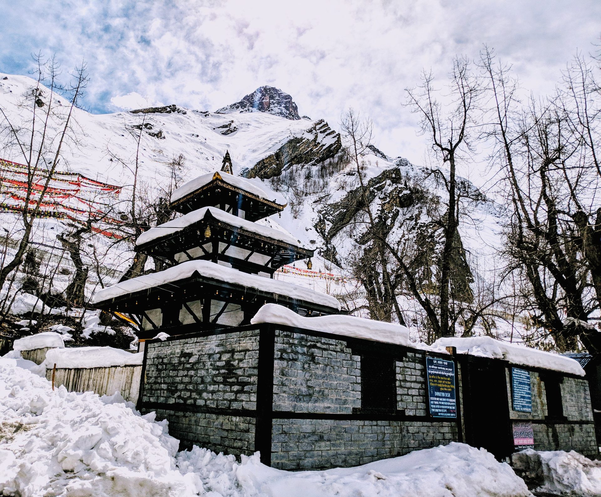
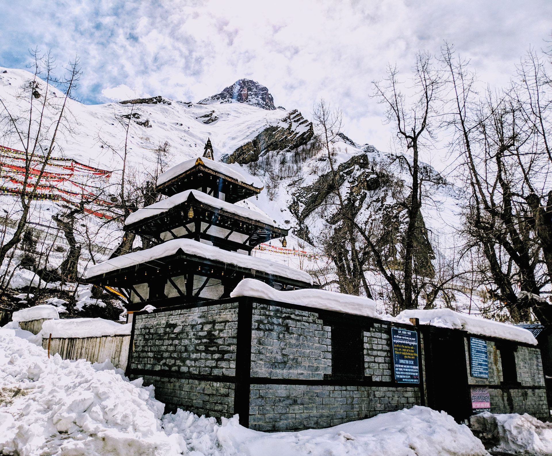
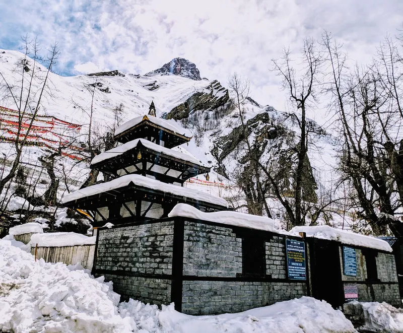
The final climb is the steepest. You leave Jomsom heading northeast, pass through Kagbeni (2,810 meters), the gateway village to Upper Mustang and then switchback up to Ranipauwa, the small settlement that sits just below Muktinath Temple. The road ends at 3,710 meters, and from the parking area it's a 15-minute walk uphill to the temple complex itself.
The permit system for the Muktinath jeep route has been fully digitized, meaning independent travelers cannot simply show up and buy them at the gate. Furthermore, Nepal's tourism authorities strictly enforce both the ACAP permit and the TIMS (Trekkers' Information Management System) card for all foreign nationals entering the region, even if you are traveling entirely by vehicle. These must be arranged in advance through a government-registered trekking agency or at the official counter in Pokhara (Dam Side).
Important Note on Taxes & Fines: The official ACAP and TIMS fees are flat government rates and do not attract an additional 13% VAT if you buy them yourself at the counter. However, if you have an agency handle the paperwork for you, expect a minor service fee. If you are caught without these at Ghasa, you will be forced to pay double the rate as a fine or be turned back to Pokhara completely.
To protect the fragile Himalayan ecosystem, the Annapurna Conservation Area Project (ACAP) strictly regulates and, in several local communities, completely bans the sale of single-use plastic mineral water bottles. Do not plan on buying standard plastic bottles along the route past Ghasa. Instead, you are expected to bring a reusable water bottle or stainless steel flask. You can refill these at community-managed Safe Drinking Water Stations or use water purification tablets (like Aquatabs) on local tap water. This is not just an eco-friendly choice, it is a logistical necessity for the region.
While room rates look remarkably cheap on paper, mountain teahouses operate on an unbundled pricing model. Past Ghasa, your room fee essentially only covers the bed. Be prepared for small, cash-only surcharges for basic amenities:
Below is a realistic 2026 budget for two foreign travelers sharing a private 4WD vehicle on a standard 3-day, 2-night itinerary.
The sharing jeep alternative, local 12-seater Scorpios that depart Pokhara's Baglung Bus Park around 6 AM daily runs NPR 2,500–3,500 per seat one way to Jomsom, with a second connecting jeep to Muktinath at NPR 800–1,200. Cheaper, yes, but you'll be wedged into the back row breathing dust for ten hours.
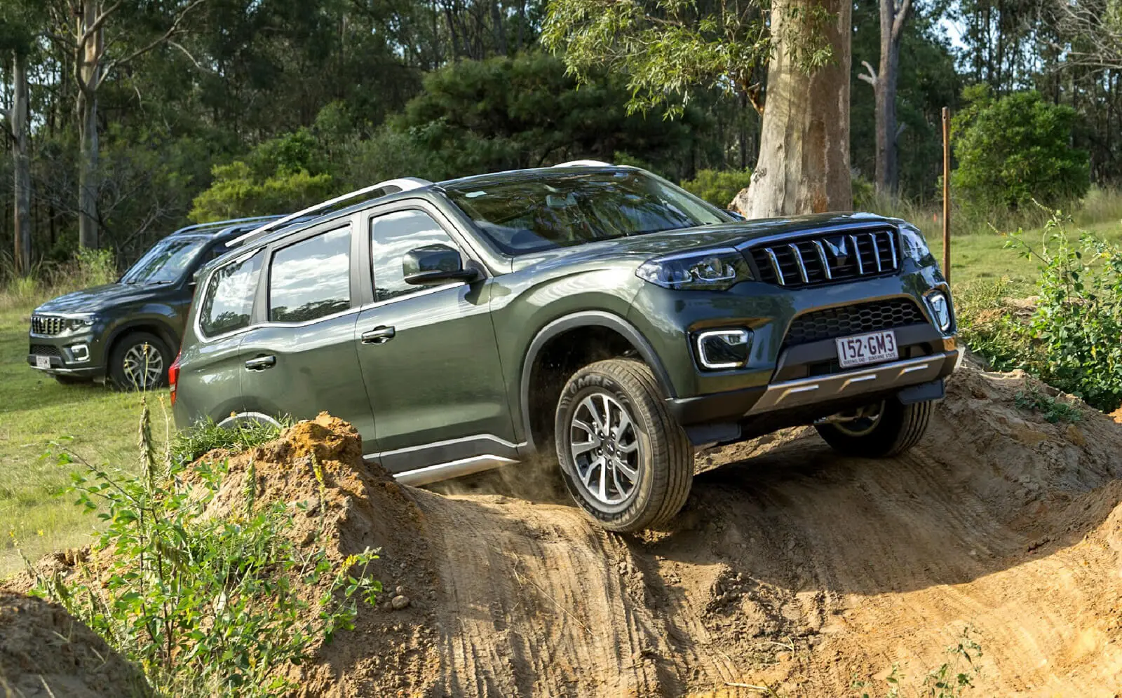
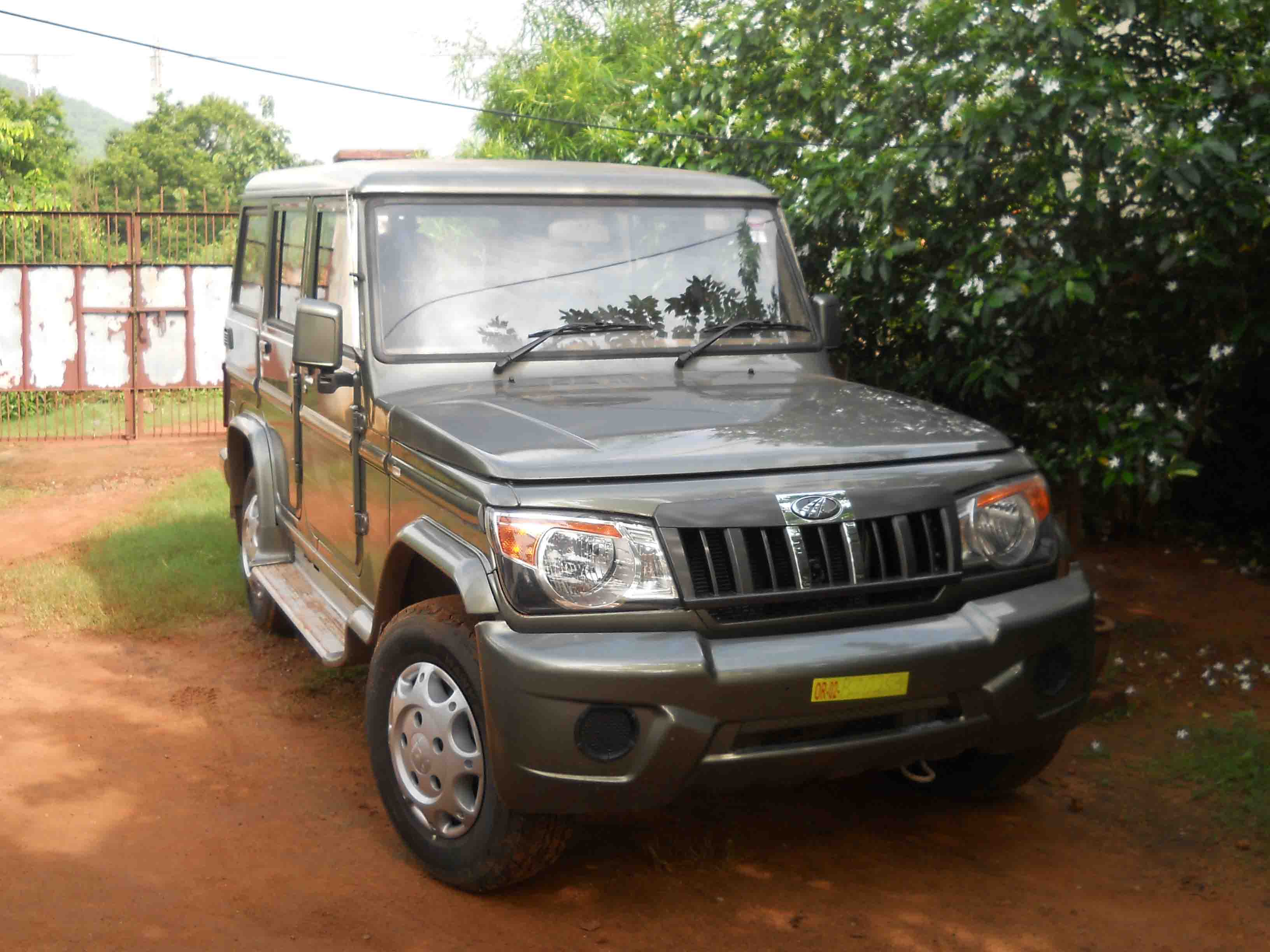
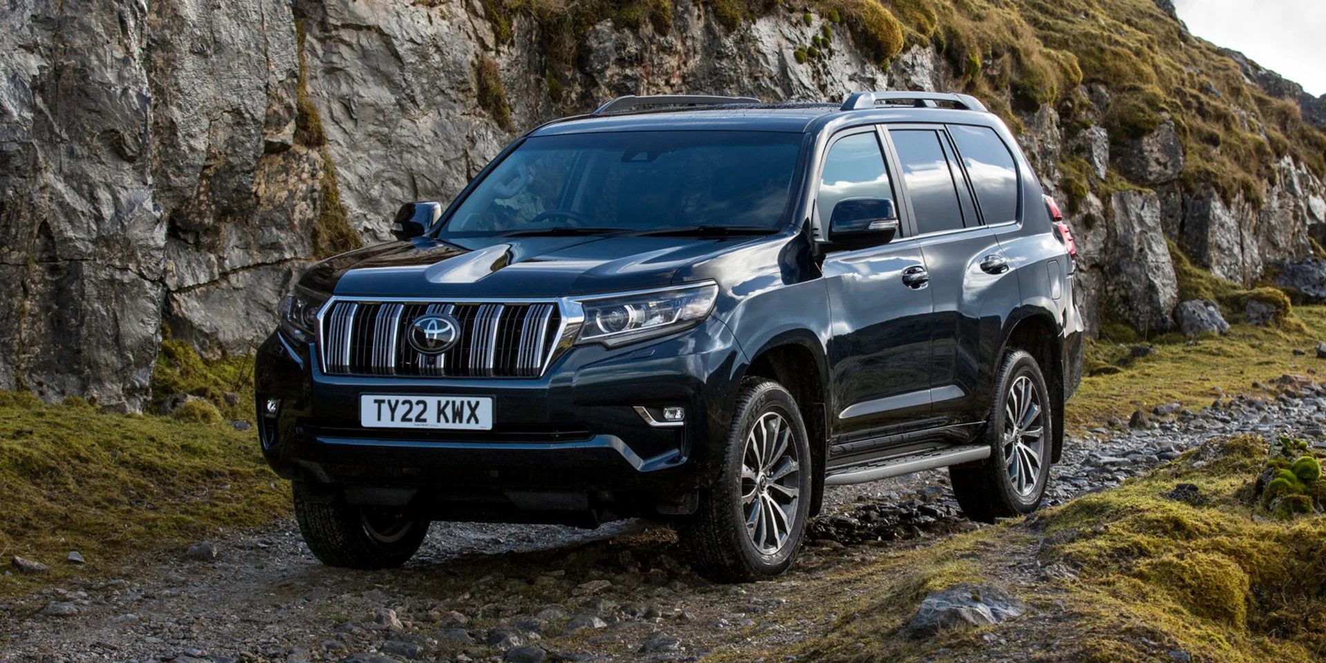
The standard fleet in Pokhara consists of three workhorses:
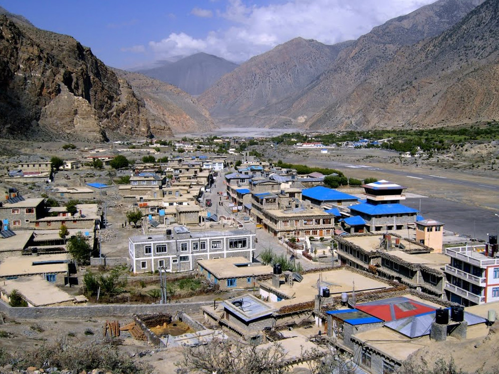
Mid-range options like Om's Home, Hotel Majesty, and Tilicho Hotel charge NPR 2,500–4,000 per double room with attached bathroom and hot shower. Rooms are simple wooden floors, thin walls, electric blankets in winter. The hot shower is gas-heated; if you're the third person to shower in your group, expect lukewarm water.
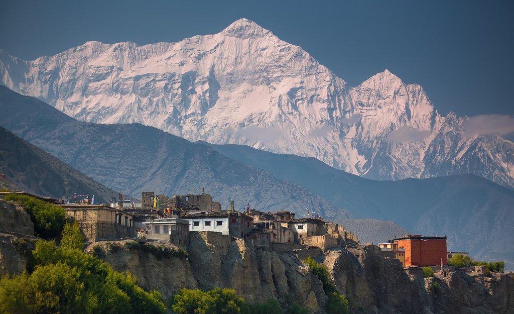
Quieter and more atmospheric than Jomsom, with views into the restricted Upper Mustang valley. Red House Lodge and YacDonald's Hotel are the long-standing options at NPR 2,000–3,500. Kagbeni runs colder at night, pack a fleece even in May.
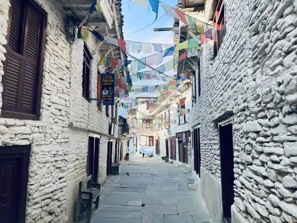
Our preferred halt for travelers who want character over convenience. The Thakali-style stone lodges along the main street charge NPR 1,800–3,000 and serve some of the best dal bhat in Mustang.
The Mustang valley sits in the rain shadow, so even during monsoon, Jomsom itself rarely floods. The problem is the approach, the Beni-to-Tatopani road is notorious for landslides between mid-June and early September, and a single blockage can strand vehicles for 6–12 hours.
Safety Alert: Do not attempt this drive between late June and early September without a confirmed road status check the morning of departure. Local trekking agencies in Pokhara monitor the Myagdi District road bulletins and can advise on real-time conditions.
You climb from 820 meters at Phewa Lake to 3,710 meters at Muktinath within roughly 30 hours on a 3-day itinerary. That's a faster ascent than the AMS guidelines recommend, and we see clients, particularly older pilgrims rushing the darshan develop headaches, nausea, and breathlessness at Ranipauwa.
Mitigation steps:
Ncell coverage is patchy from Tatopani onward and largely unusable past Ghasa. NTC (Nepal Telecom) is the dominant network in Mustang, buy an NTC tourist SIM in Pokhara (NPR 500 for the SIM, NPR 1,000 for a 10GB monthly data pack). 4G works reliably in Jomsom, Kagbeni, and Ranipauwa. Between villages, expect no signal at all.
Most teahouses now offer Wi-Fi for NPR 200–300 per device per night, but bandwidth above Tukuche is barely enough for WhatsApp messages.
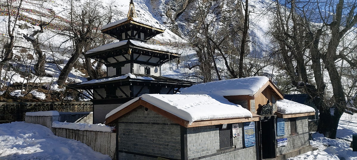
Muktinath is sacred to both Hindus and Buddhists , as one of the 108 Divya Desams for Vaishnavites and a significant Dakini site for Tibetan Buddhists. The temple complex includes the main Vishnu temple, the 108 water spouts (Mukti Dhara) where pilgrims bathe, and the Jwala Mai temple with its natural gas flames.
Depart Pokhara at 6:30 AM. Breakfast at Kushma. Lunch and hot spring stop at Tatopani (allow 2 hours). Reach Marpha by 5:30 PM. Overnight in a Thakali stone lodge.
Early start at 7:00 AM to beat the Mustang wind that picks up after 11 AM. Drive via Jomsom and Kagbeni to Ranipauwa. Spend 2–3 hours at the temple. Lunch in Kagbeni. Return to Jomsom for overnight.
Long driving day. Leave Jomsom by 6:30 AM to avoid afternoon road work delays around Tatopani. Lunch at Beni. Back in Pokhara by 5:00 PM.
You can find independent jeeps at the Baglung Bus Park, but navigating the process alone comes with a hidden cost: hours spent standing in lines. When you book a verified supplier through My Easy Guide, we handle the heavy lifting so you can focus on your tour.
Booking your trip into Lower Mustang shouldn't be stressful. My Easy Guide is a curated travel marketplace that connects you directly with the best, most verified tour operators in Pokhara.
Here is why travelers choose our marketplace packages:
Ready to start your journey? Compare itineraries, read real traveler reviews, and book your perfect Pokhara to Jomsom tour package with 100% confidence on them My Easy Guide.
Yes, with adjustments. Choose a Land Cruiser over a Bolero, add an extra night at Marpha or Tatopani to acclimatize, and consider carrying portable oxygen (rentable in Pokhara for NPR 1,500 per day). The walk from Ranipauwa parking to the temple is gentle but at 3,710 meters, even short climbs feel hard.
Absolutely. Add 2 days to visit Lupra village, the Dhumba Lake near Jomsom, and a half-day excursion toward the Upper Mustang restricted area boundary at Kagbeni.
Note: entering Upper Mustang proper requires a separate $50 USD per person/ per day restricted area permit and a registered guide.
Drivers typically wait it out, clearance usually takes 4–8 hours. In severe cases, you may need to overnight at the nearest village. Travel insurance with trip-interruption coverage is genuinely useful here, not a luxury.
Rarely. A handful of higher-end lodges in Jomsom accept cards with a 3–4% surcharge, but assume cash-only for everything else including fuel, permits, and meals.
Get travel ideas and local experiences from My Easy Guide in your inbox.
Spam free. Unsubscribe anytime. We respect your privacy.