Travel Guide
Gosaikunda Trek via Lauribinayak: Cost, Route & Altitude Guide 2026
SS
Sandeep Shrestha
12 min read
Sandeep Shrestha
The first time you crest the Lauribinayak ridge and the alpine bowl opens up, the air goes thin and the noise of the valley falls away. Gosaikunda is not the longest trek in Nepal, but it packs sacred lakes, oak-and-rhododendron forest, and a genuine high-altitude crossing into a compact loop close to Kathmandu. Our field coordinators rate it as one of the best short high routes for trekkers who want real altitude without flying anywhere.
This guide breaks down the exact 2026 permit costs, the daily route through Lauribinayak, the full altitude profile, and the safety rules you cannot ignore at the Gosaikunda Pass.
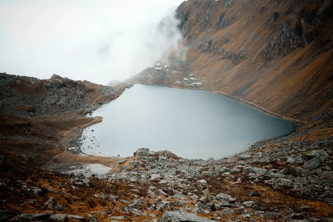
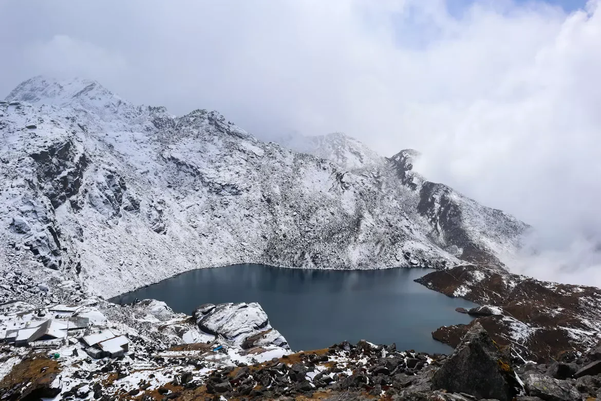
The Gosaikunda Trek is a 6 to 8 day Himalayan route in Langtang National Park, north of Kathmandu, climbing from forested foothills to the sacred lake at 4,380 meters. The standard ascent passes through the Lauribinayak ridge before reaching a cluster of glacial lakes revered by both Hindu and Buddhist pilgrims.
The trek starts most commonly from Dhunche or Syabrubesi, a drive of roughly 6 to 8 hours from Kathmandu along a rough mountain road. From there, the trail climbs steeply through Sing Gompa and Lauribinayak before topping out at the lakes. Strong walkers can add the Lauribina La Pass (4,610 m) and descend into the Helambu region.
If you are weighing this against other options, our comparison of Nepal's main trekking routes helps you see how Gosaikunda fits alongside the bigger circuits.
Reaching the Gosaikunda trailhead is a road journey, not a flight. You drive northwest from Kathmandu to Dhunche or Syabrubesi in the Rasuwa district, a winding ride of 6 to 8 hours depending on road conditions and landslide repairs.
You can take a public bus, a shared jeep, or a private vehicle. Private jeep hire and seasonal transport rates fluctuate, so verify live prices through your agency or our marketplace rather than relying on fixed figures. Roads in this region are prone to monsoon damage, so build in flexibility.
If you are also exploring the neighbouring valley, our Langtang Valley trek guide covers the combined loop logistics in detail.
Gosaikunda requires two permits in 2026: the Langtang National Park entry permit and the e-TIMS card. Foreign nationals pay NPR 3,000 for park entry, SAARC nationals pay a reduced rate, and the e-TIMS registration costs around NPR 2,000. Gosaikunda is not a Restricted Area, so no special RAP is needed.
Here is how the core costs break down. Treat transport and lodge figures as live ranges to verify before departure.
For a wider look at trekking budgets, our breakdown of Nepal trekking rules and costs is worth a read before you book.
2026 Regulatory Update: While Gosaikunda does not require a Restricted Area Permit (RAP), under Nepal's current trekking regulations, trekkers in the Langtang region are expected to travel with a licensed guide and obtain their e-TIMS through an authorized trekking agency.
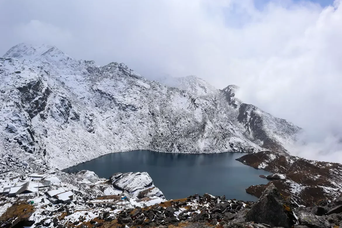
The classic Gosaikunda route via Lauribinayak takes 6 to 8 days from Kathmandu. To ensure a safe, gradual acclimatization profile, this itinerary starts from Dhunche and places a vital overnight stop at the Lauribinayak ridge before pushing to the lakes at 4,380 meters.
The climb above Sing Gompa is the heart of the trek. You climb steadily through mossy fir forest, passing the Buddhist monastery and local yak cheese factory at Sing Gompa (also known locally as Chandanbari), before the trees thin out and the ridge of Lauribinayak opens to spectacular views of Langtang Lirung and the Ganesh Himal range.
Above Lauribinayak the trail turns rocky and exposed. You pass several smaller lakes, Saraswati Kunda and Bhairav Kunda, before the main Gosaikunda Lake appears, ringed by prayer flags and a small shrine. The wind here is sharp and the light is intense.
If you continue east over the Lauribina La at 4,610 meters, you leave the lakes behind and descend a steep, often snow-dusted trail toward Ghopte and the Helambu valley. This crossing should only be attempted in stable weather with a guide, as the pass can hold snow well into spring.
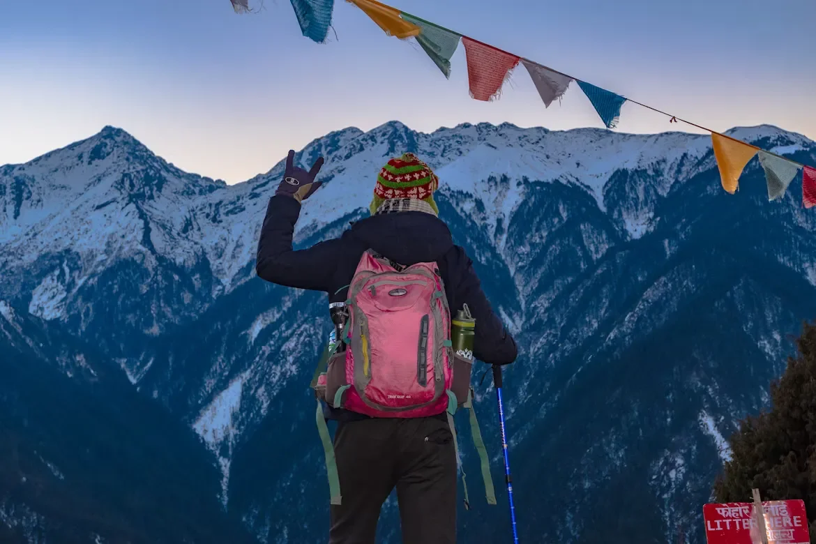
Above 3,000 meters, it is generally recommended to limit sleeping elevation gains to about 300–500 meters per day and include acclimatization days after every 600–1,000 meters of elevation gain. Breaking the climb with an overnight stay at Lauribinayak helps create a safer acclimatization profile before reaching Gosaikunda at 4,380 meters. Spending an additional night at Gosaikunda may help acclimatization, especially for trekkers continuing over Lauribina La toward Helambu.
Watch for headaches, nausea, dizziness, and loss of appetite. If symptoms worsen, descend immediately. Our overview of high-altitude trekking logistics explains the warning signs of AMS, HAPE, and HACE in plain language.
You must carry insurance that specifically covers emergency helicopter evacuation up to 6,000 meters and treatment for altitude illness. Standard travel insurance rarely includes this. Confirm the exact coverage with your provider before you leave home.
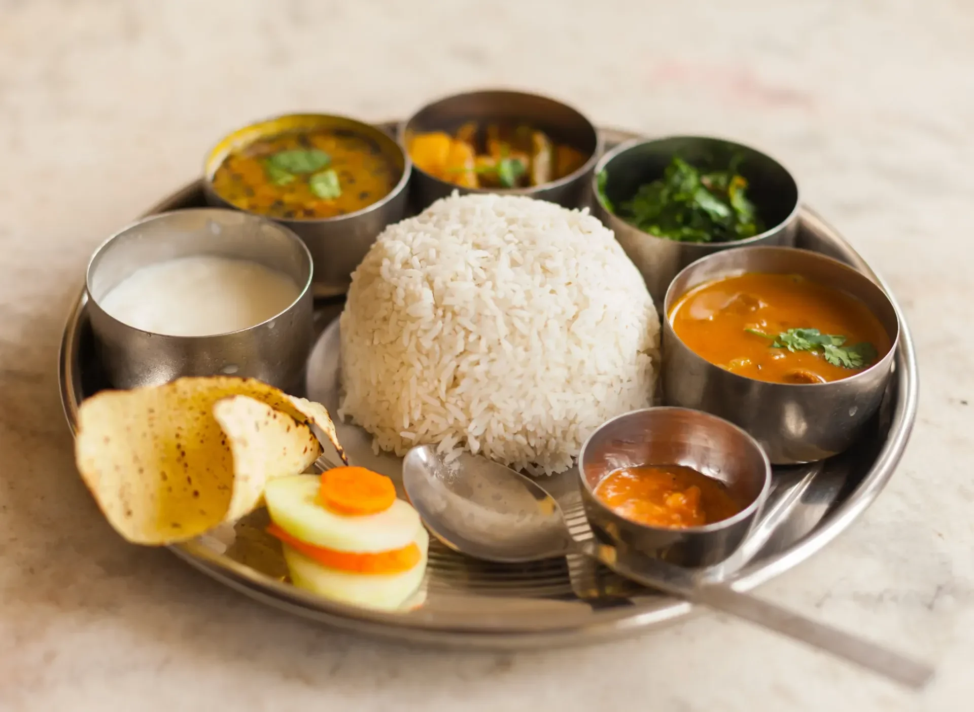
Stick to fresh, locally grown carbohydrates on the trail, and lean on the classic Dal Bhat, which comes with free refills and clean energy for big climbs. We advise prioritizing vegetarian meals at altitude, as meat is carried up by foot without refrigeration.
There are no reliable ATMs past Dhunche, so carry enough Nepalese Rupees cash for the entire trek plus a buffer. Expect upcharges of 200 to 700 NPR for charging power banks and phones, gas-heated hot showers, and Wi-Fi access, which are almost never included in your room rate.
Skip plastic bottled water to protect the fragile lake environment. Bring a reusable bottle paired with a UV purifier, Sawyer squeeze filter, or chlorine dioxide drops to treat stream and tap water safely.
Mobile coverage on the Gosaikunda route is patchy at altitude. Nepal Telecom (NTC) tends to be the more reliable network in the higher Langtang valleys, while Ncell coverage fades above the treeline. Buy and register a SIM in Kathmandu before you travel.
Some lodges offer paid Wi-Fi, but speeds are slow and the signal drops in bad weather. Treat connectivity as a bonus, not a guarantee, on the high section of this trek.
Gosaikunda is a sacred site for Hindus and Buddhists alike, drawing thousands of pilgrims during the Janai Purnima festival in August. Treat the lakes, shrines, and prayer structures with the same respect a pilgrim would.
Always pass mani stones, chortens, and stupas on your left side (keeping them to your right) and walk clockwise around religious structures. Do not bathe in or pollute the sacred lakes.
If you visit the gompa at Sing Gompa or any monastery, remove your shoes and hat before entering. Outdoor photography is fine, but photographing inside a prayer hall is prohibited unless a resident monk gives you explicit permission.
Spring (March to May) and autumn (September to November) deliver the most stable weather, clear mountain views, and reliable trail conditions. Winter brings deep snow that can seal the Lauribina La, and monsoon trails turn slippery with leeches at lower elevations.
For a deeper seasonal comparison, see our guide on September vs October trekking in Nepal.
You need genuine cold-weather layers for the high lakes, where temperatures drop below freezing even in peak season. A warm sleeping bag rated to -10°C, sturdy boots, and trekking poles for the steep descents are essential.
Our full trek packing list covers everything from layering systems to the water purification gear we mandate on this route.
Tipping is culturally expected in Nepal and forms a vital part of guide and porter income. As a marketplace guideline, budget 15% to 20% of your total trek cost to distribute among your crew at the end of the trip, handed over personally with thanks.
Gosaikunda rewards you with a fast climb to real altitude, sacred scenery, and a manageable timeline close to Kathmandu. Plan your permits, respect the pace, and treat the lakes with the reverence they hold for millions of pilgrims.
The Gosaikunda Trek is famous for its sacred alpine lakes, high-altitude mountain scenery, and spiritual significance for Hindu and Buddhist pilgrims. It combines forest trails, ridge walks, and glacial lakes in a short Himalayan itinerary near Kathmandu.
The Gosaikunda Trek is moderately challenging. It involves steep ascents, high altitude up to 4,380m, and cold weather conditions. The Lauribinayak ridge and optional Lauribina La Pass make it more demanding, especially for beginners.
The trek typically takes 6 to 8 days, depending on your route and acclimatization pace. Shorter itineraries may skip the Lauribina La Pass, while longer ones continue into Helambu.
The highest point is Gosaikunda Lake at 4,380 meters. If you cross Lauribina La Pass, the elevation reaches about 4,610 meters before descending toward the Helambu region.
Yes. You need a Langtang National Park entry permit and an e-TIMS card. The trek does not require a Restricted Area Permit, but both permits are mandatory for entry and trekking inside the region.
Yes, current trekking regulations in the Langtang region require trekkers to travel with a licensed guide and obtain permits through an authorized trekking agency for safety and compliance.
The best seasons are spring (March–May) and autumn (September–November). These months offer clear skies, stable weather, and safer trail conditions for high-altitude trekking.
Lauribina La Pass (4,610m) is an optional high crossing connecting Gosaikunda to Helambu. It is safe only in stable weather and with proper acclimatization, as snow and wind conditions can make it dangerous.
You can reach Dhunche or Syabrubesi by road from Kathmandu in 6 to 8 hours. Options include public bus, shared jeep, or private vehicle, depending on comfort and budget.
You should pack warm layers, a -10°C sleeping bag, trekking boots, rain protection, water purification tools, and basic first aid. Altitude-ready gear is essential due to freezing temperatures at the lakes.
Get travel ideas and local experiences from My Easy Guide in your inbox.
Spam free. Unsubscribe anytime. We respect your privacy.