Gosaikunda Lake 2026: Sacred Alpine Lake Trek (Route, Altitude & Permit Guide)
Sandeep Shrestha
Contents
- Gosaikunda Trek Overview: The Quick Facts
- Permits and Costs for 2026
- Getting to Dhunche: The Trailhead
- Day-by-Day Gosaikunda Itinerary
- Altitude Safety: The Number One Priority
- Helicopter Insurance Is Strongly Recommended
- Food, Water and Eating Smart at Altitude
- Money, Power and Connectivity on the Trail
- Sacred Etiquette at Gosaikunda
- Best Time to Trek Gosaikunda in 2026
- Packing Essentials
- Tipping Your Crew
- Frequently Asked Questions (FAQs)
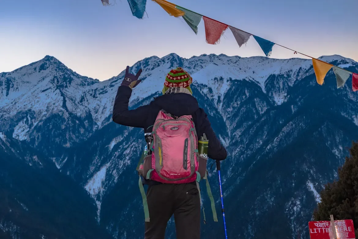
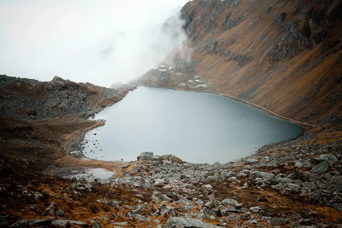
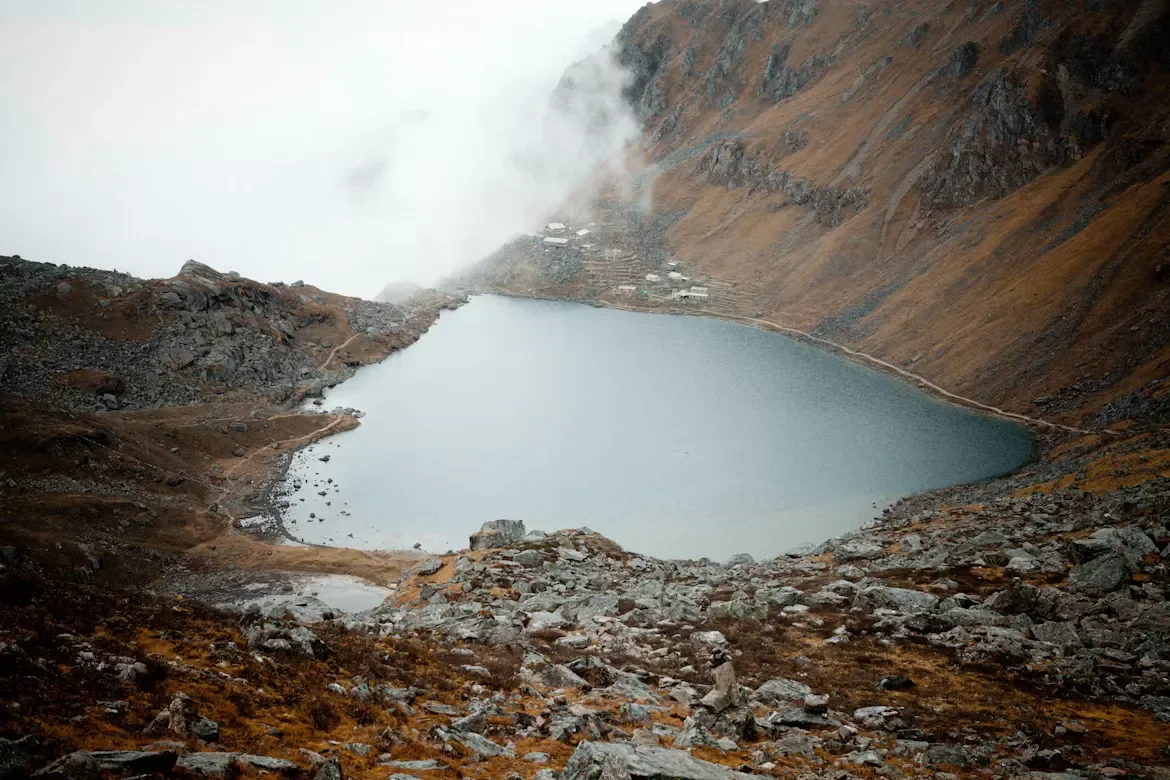
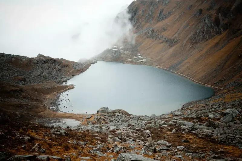
The first thing you notice at Gosaikunda is the silence. After days of climbing through rhododendron forest and over windswept ridgelines, you crest a final rise and the cold blue lake opens up below you, ringed by snow and prayer flags snapping in the thin air at 4,380 meters. For Hindus, this is the body of water where Lord Shiva struck his trident into the mountain. For trekkers, it is one of the most accessible high-alpine lakes in Nepal, reachable in under a week from Kathmandu.
Local trekking operators report that in the Langtang region, Gosaikunda is rated as one of the best short high-altitude treks for travelers who want a genuine Himalayan experience without committing to the longer Everest or Annapurna circuits. This guide lays out the exact route, altitude profile, 2026 permit fees, and the safety and cultural rules you need to know before you go.
Gosaikunda Trek Overview: The Quick Facts
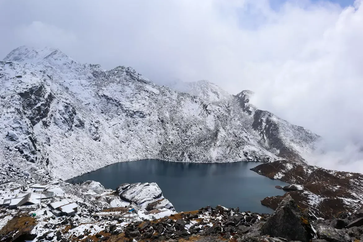
The Gosaikunda trek climbs from Dhunche (1,960 meters) to the sacred lake at 4,380 meters over roughly 4 to 5 trekking days, with most itineraries running 5 to 7 days round trip. It sits inside Langtang National Park, requires two permits, and gains altitude fast, making acclimatization the single most important factor for a safe trip.
This is a trek of contrasts. You start in subtropical forest thick with moss and birdsong, and within three days you are walking past frozen tarns where the only sound is your own breathing. The route can be done as an out-and-back from Dhunche or extended dramatically by crossing the Laurebina La pass (4,610 meters) into the Helambu region.
A little inspiration for your next trip
Get travel ideas and local experiences from My Easy Guide in your inbox.
Spam free. Unsubscribe anytime. We respect your privacy.