Travel Guide
Cho La Pass Trek 2026: Connecting Gokyo & EBC — Everything You Need to Know
AK
Asmita Karki
14 min read
Asmita Karki
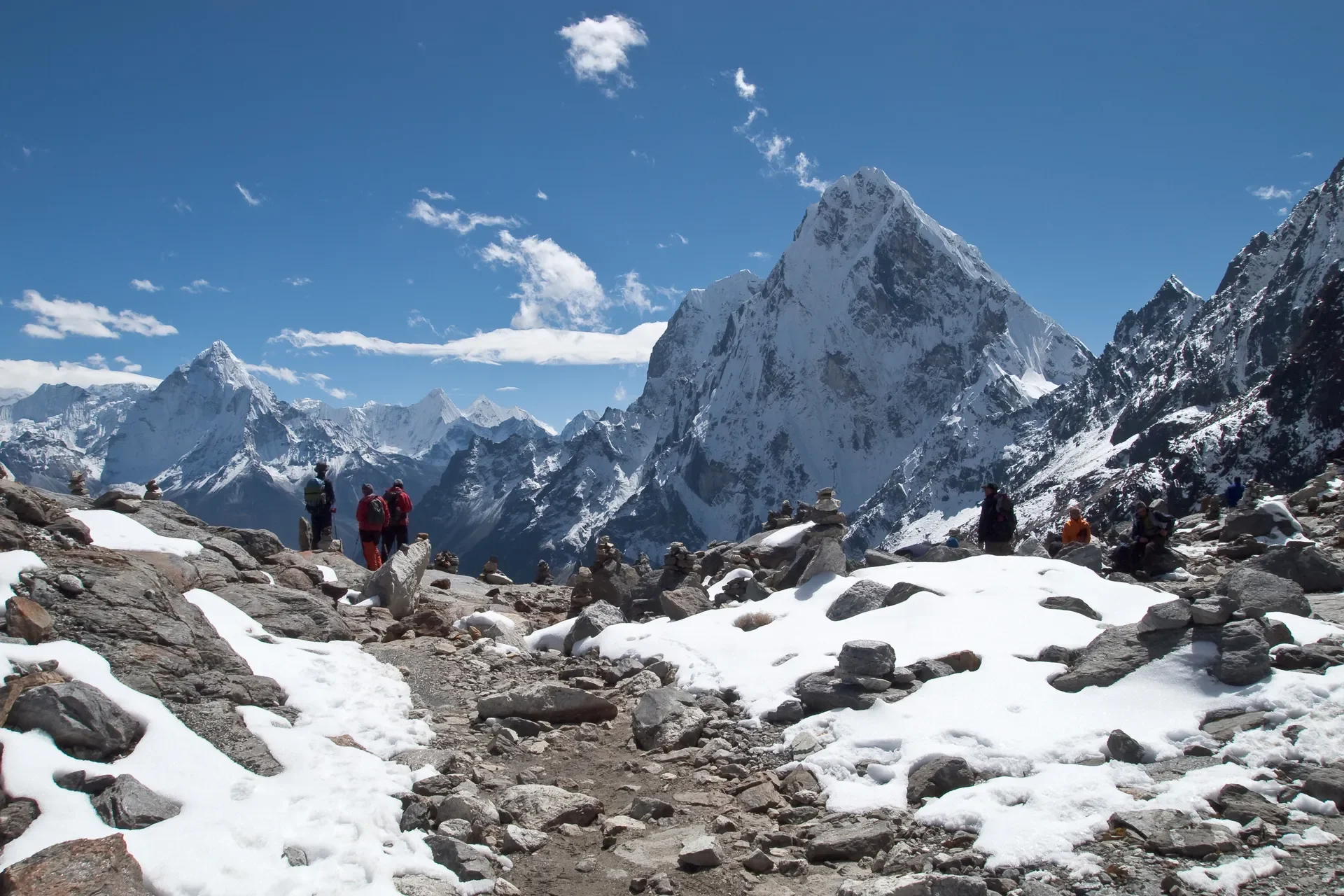
Picture standing on a frozen ridge at first light, the prayer flags above Cho La frozen stiff in the wind, with the glacier crunching under your microspikes and Cholatse glowing pink to your south. This is the moment the Cho La Pass trek delivers, a high, raw, technical crossing that stitches the turquoise Gokyo Lakes to the classic trail of Everest Base Camp.
This route is for trekkers who want more than the standard EBC out-and-back. It packs in the Renjo La views, the Ngozumpa Glacier (the longest glacier in the Himalayas), and a genuine high-altitude pass at 5,420 meters. We've tracked the 2026 permit and logistics changes closely, and below is everything our field coordinators want you to know before you commit.
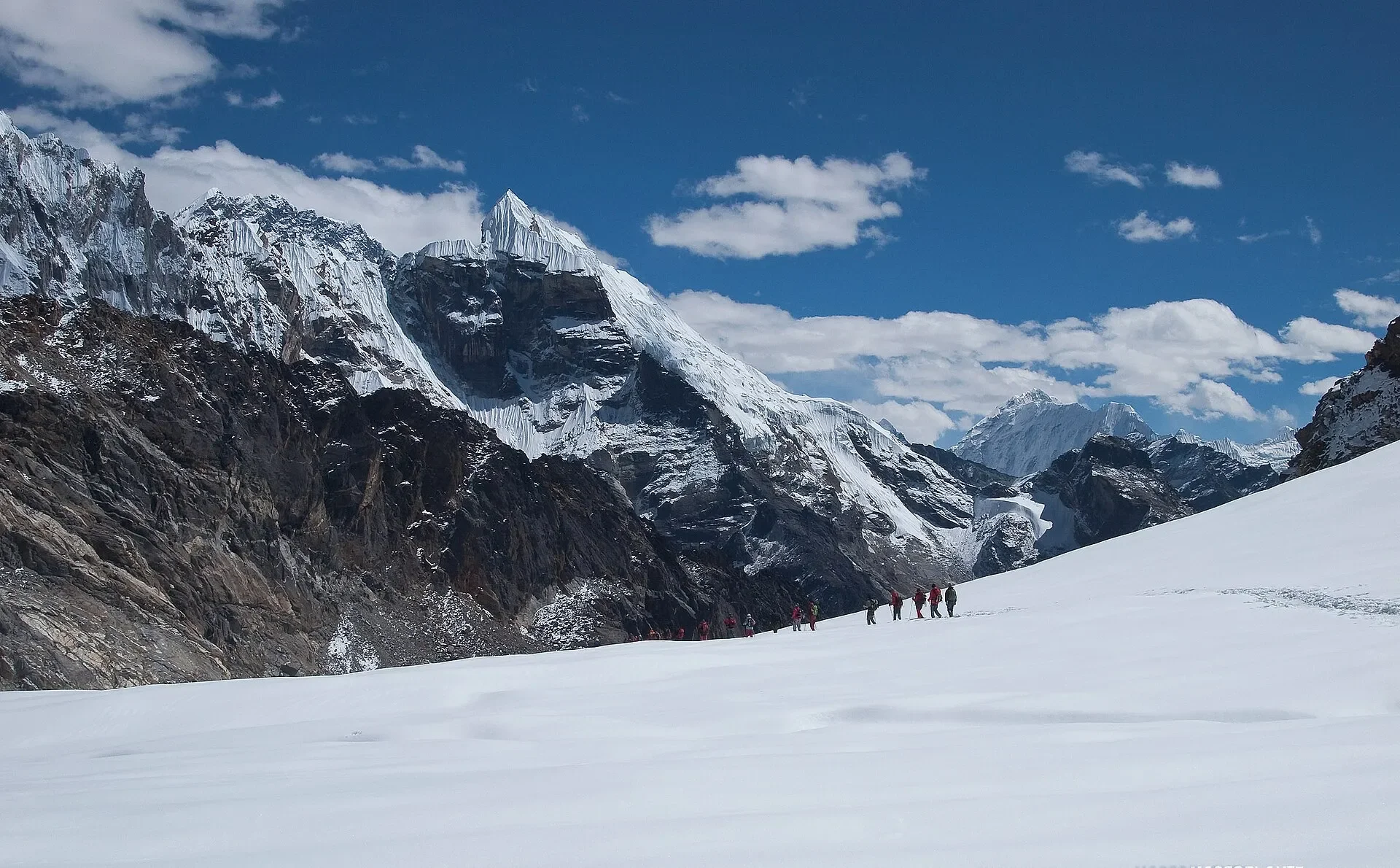
The Cho La Pass trek is a high-altitude circuit in Nepal's Khumbu (Everest) region that connects the Gokyo Lakes valley to the Everest Base Camp trail by crossing Cho La Pass at 5,420 meters. It typically runs 14 to 16 days, includes a glacier crossing, and rewards trekkers with four 8,000m peaks in view.
Unlike the standard EBC trek, you climb two parallel valleys instead of one. You start up the Gokyo side, summit Gokyo Ri for the lakes panorama, then cross Cho La eastward to rejoin the main Everest highway near Dzongla and Lobuche. From there it's the familiar push to Gorak Shep, Kala Patthar, and base camp.
It's a more demanding cousin of the standard route. For a clear comparison of difficulty and scenery, see our breakdown of the Three Passes versus Everest Base Camp route.
The Khumbu region uses two permits, not the standard e-TIMS card. You need the Sagarmatha National Park Permit (NPR 3,000) and the Khumbu Pasang Lhamu Rural Municipality fee (NPR 3,000). The park permit is bought in Kathmandu or at Monjo; the municipality fee is paid at Lukla or Monjo.
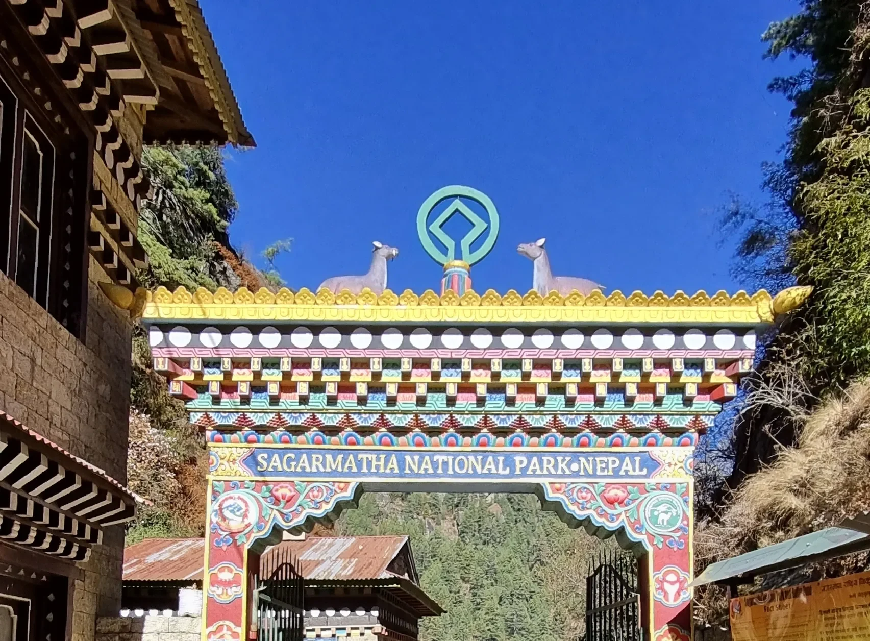
Important: While the Khumbu is not a restricted area in the permit sense, Nepal's 2026 mandatory guide policy now requires all foreign trekkers on major routes within national parks, including Sagarmatha to be accompanied by a licensed, government-registered guide.
For the Cho La crossing specifically, with its glacier navigation and altitude risk, hiring a licensed guide is both legally required and strongly advised.
Note: All permit fees in the Khumbu region must be paid in Nepalese Rupees cash. USD and cards are not accepted at permit counters. For a full national overview of fees and rules, read our guide to Nepal trekking rules and costs.
Most Cho La treks begin with a flight to Lukla. During peak seasons (March–May and Sept–Nov), Lukla flights do not depart Kathmandu, they operate from Manthali Airport in Ramechhap. Trekkers drive 4 to 5 hours from Kathmandu, usually leaving around 1:00 AM, to catch the morning flight.
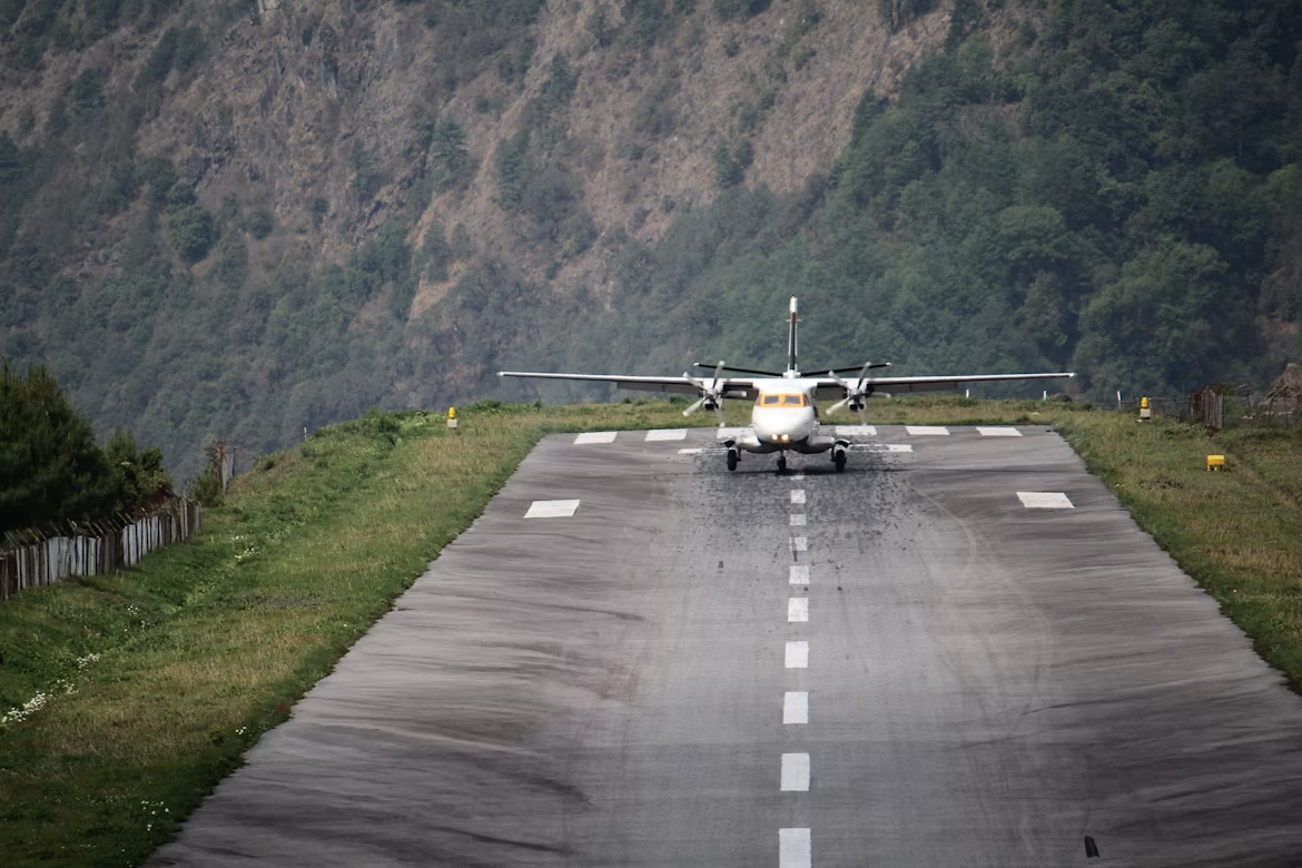
This is non-negotiable logistics, not a suggestion. Build 1 to 2 buffer days into your itinerary on both ends, because Lukla weather delays are common and can strand flights for days. Domestic flight pricing is volatile, so confirm current fares through your agency rather than budgeting from old numbers. Learn more about the airport quirks in our Lukla Airport guide.
The standard direction crosses from Gokyo (west) toward Dzongla and EBC (east). This gives a steadier ascent to the pass and finishes on the iconic base camp highlights. Below is a safe, AMS-conscious schedule that never raises sleeping altitude by more than 300–500m above 3,000m.
This is the crux. You leave Thagnak before dawn, climb a steep rocky moraine, then cross a short glacier section that is often hard ice in the early morning. Microspikes are essential in winter and shoulder seasons, and trekking poles help on the loose descent down to Dzongla.
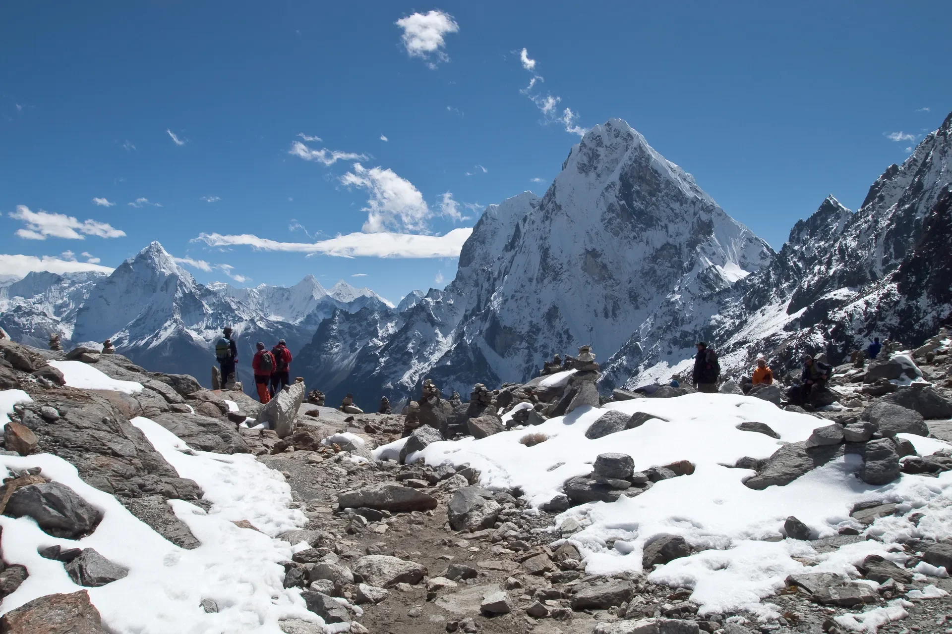
Start early. The wind picks up by mid-morning, and the descent into Dzongla is long and knee-pounding. Our coordinators flag this as the single hardest day of the entire trek, pace yourself and eat before you leave.
Above 3,000 meters, never raise your sleeping altitude by more than 300 to 500 meters per day, and take mandatory rest days at Namche and Gokyo. The Cho La trek peaks at 5,545 meters at the Kala Patthar viewpoint (the summit ridge reaches 5,644 m, though most trekkers stop at the lower viewpoint), so AMS prevention is the priority that makes or breaks the trip.
Watch for headaches, nausea, dizziness, and loss of appetite. If symptoms worsen, descend immediately, altitude is not a test of toughness. For deeper planning, read our piece on high-altitude trekking logistics.
Helicopter evacuation is a real possibility here. Standard travel insurance is not enough. You must carry a policy that explicitly covers emergency helicopter evacuation up to 6,000m and medical treatment for AMS, HAPE, and HACE. Confirm the altitude ceiling in writing with your insurer.
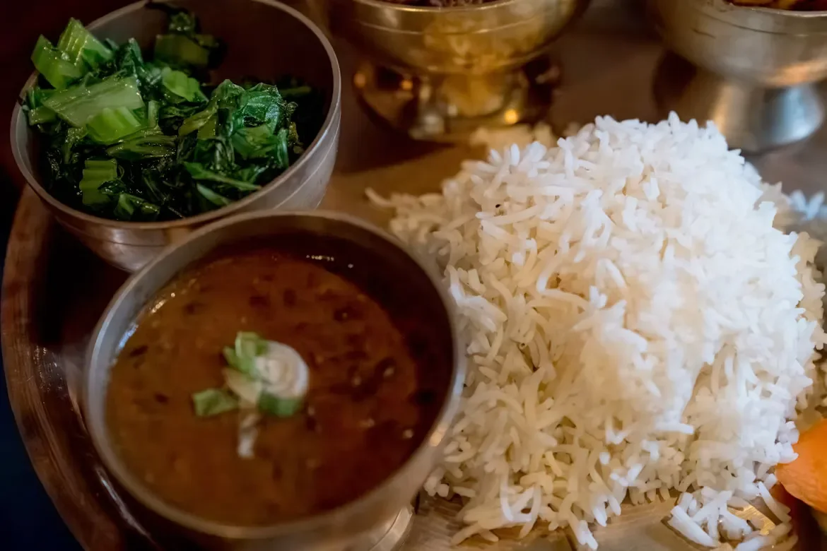
Prioritize vegetarian meals on this trail. In the Buddhist Khumbu region, slaughtering animals is prohibited by local law, so all meat is carried up by foot or mule over days without refrigeration. Stick to fresh local carbohydrates, the classic Dal Bhat (lentil soup, rice, and vegetable curry) is clean, high-energy fuel and usually comes with free refills.
The two prime windows are spring (March–May) and autumn (Sept–Nov), when skies are clear and the glacier is most manageable. Autumn offers the most stable weather; spring brings warmer days and rhododendron blooms lower down. Winter is possible but brutally cold with snow blocking the pass.
The monsoon is poor for Cho La due to cloud and ice melt. If you must trek in summer, the rain-shadow regions of Upper Mustang and Upper Dolpo stay dry and are far better choices than the Khumbu. Deciding between the shoulder months? Our September versus October comparison helps you choose.
ATMs do not exist past Namche Bazaar. Carry enough Nepalese Rupees in cash for the entire upper route, plus a buffer for emergencies and tips. Card payment is unreliable to non-existent above Namche.
Budget for trail upcharges that are rarely included in your room rate. Charging power banks and phones, gas-heated hot showers, and Wi-Fi via Everest Link each cost an extra 200 to 700 NPR per use. These add up fast over two weeks.
For SIM cards, Nepal Telecom (NTC) is essential in the Everest region, it has the strongest coverage in the Khumbu and remote zones. Carry an NTC SIM rather than relying on Ncell up here.
You need true cold-weather and glacier-ready gear for this trek. The pass is icy and exposed, so layering, traction, and a warm sleeping bag are not optional. Below are the non-negotiables our guides check before crossing day.
Never buy plastic bottled water on the trail, it damages the local environment. Carry a reusable bottle paired with active purification instead. For a full checklist, see our trek packing list.
The Khumbu is deeply Buddhist, and small acts of respect matter. Always pass mani stones, chortens, and stupas on the left side, keeping them to your right, and walk clockwise around all religious structures.
Remove your shoes and hats before entering any monastery or temple. Outdoor photography is fine, but photographing inside monastery prayer halls is strictly prohibited unless a resident monk gives you explicit permission.
Tipping is culturally expected in Nepal and is a vital supplement to your crew's base income. A standard guideline is 15% to 20% of your total trek cost, distributed among the guides and porters at the end of the trek.
Hand tips over personally with both hands on the final day, separating guide and porter amounts. Your guide can advise on a fair split if you're unsure.
Choose the standard EBC route if you want the iconic base camp experience with lower technical risk and fewer days. Choose the Cho La variant if you're fit, well-acclimatized, and want the Gokyo Lakes, the glacier crossing, and far quieter trails on the western side.
The Cho La adds genuine alpine challenge and a sense of remoteness the standard trail lacks. Still weighing your options across regions? Our guide comparing Annapurna versus Everest Base Camp and our roundup of the top base camp treks can help you frame the decision.
Cho La at 5,420 meters is strenuous, with a steep rocky scramble, a short icy glacier section, and sharp cold at dawn. It demands good fitness, solid acclimatization, and microspikes during winter and shoulder seasons.
Nepal's 2026 mandatory guide policy now applies across all major national park trekking routes, including Sagarmatha National Park. A licensed, government-registered guide is legally required for foreign trekkers on this route. Beyond the regulation, a guide is essential for glacier navigation and altitude safety on crossing day.
You need the Sagarmatha National Park Permit (NPR 3,000) and the Khumbu Pasang Lhamu Municipality fee (NPR 3,000). The Khumbu does not use the standard e-TIMS card.
Cross from Gokyo (west) to Dzongla (east), heading toward EBC. The ascent is steadier this way and you finish the trek on the classic base camp and Kala Patthar highlights.
ATMs reliably exist only up to Namche, so carry enough NPR cash. Wi-Fi via Everest Link runs 200 to 700 NPR per use, and charging devices also costs extra.
Most full itineraries run 14 to 16 days including Kathmandu transfers and acclimatization, with around 12 to 13 days of actual walking.
Get travel ideas and local experiences from My Easy Guide in your inbox.
Spam free. Unsubscribe anytime. We respect your privacy.