Prabesh Tamang
The Annapurna Circuit doesn't have one perfect season; it has windows, and choosing the wrong one can mean a Thorong La crossing in waist-deep snow or a Marsyangdi valley swimming in leeches. We coordinate treks across this region every month of the year, and the honest truth is that timing decides more than your gear or fitness ever will. This breakdown gives you the real conditions month by month, plus the permits, costs, and safety facts you need for a 2026 departure.

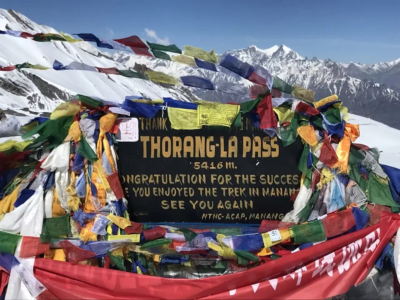
The best season for the Annapurna Circuit in 2026 is autumn, specifically late September through November, with October offering the clearest skies and the safest Thorong La Pass (5,416 meters) crossing. Spring, from March to May, is the strong second choice with rhododendron blooms and stable weather. Winter and monsoon bring real risks.
The classic route climbs from the subtropical Marsyangdi valley near Besisahar up through Chame, Pisang, and Manang, then over Thorong La Pass (5,416 meters) down to Muktinath and Jomsom in the dry Mustang region. This single trail crosses several climate zones in one trip.
Because you pass through monsoon-soaked lowlands and a high-altitude desert in the same trek, no single weather pattern applies across the whole route. That is exactly why month-by-month planning matters so much here.
The crux is always the pass. Thorong La is exposed, high, and prone to early-morning ice and afternoon wind. Your chosen month directly affects whether that crossing is straightforward or genuinely dangerous.
Here is the honest seasonal reality across the full calendar. Conditions shift sharply with altitude, so we describe both the lower valley and the high section around the pass.
January and February deliver crisp, stable skies and almost empty trails, but the high section is genuinely cold and the pass is frequently snowed shut. Daytime lower-valley walking is pleasant, while nights above 3,500 meters drop well below freezing and many high lodges in Thorong Phedi close.
If Thorong La receives heavy snow, the crossing becomes impassable for days. We see winter trekkers either turn back at Manang or shorten the trip to the Manang valley and fly out. Only experienced winter trekkers with strong gear and flexible dates should attempt the full circuit in these months.
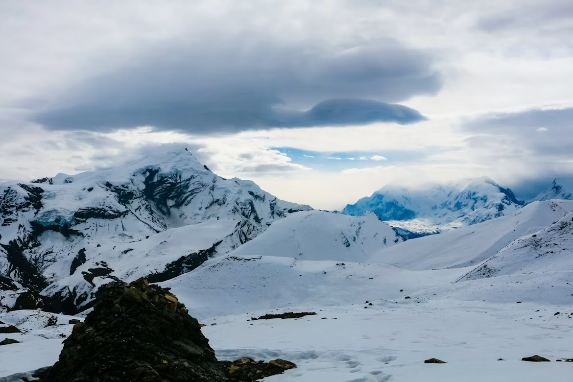
March opens the spring window. Lower elevations warm up, rhododendron forests begin to bloom around 2,000 to 3,000 meters, and the pass starts to clear of winter snow by mid-to-late month. Mornings are clear; afternoon haze can build in the lower valley.
Early March can still carry residual snow on Thorong La, so a guide who checks current pass conditions is valuable. By the last week, conditions are usually reliable for a careful crossing.
April and May are arguably the best balance of warmth, color, and long daylight. Rhododendrons peak, temperatures are comfortable for the climb, and the pass is generally clear of dangerous snow. This is one of our two recommended seasons.
The trade-off is afternoon haze that softens distant peak views, plus a pre-monsoon heat building in the lowlands by mid-May. Trails are busy but not crowded. Late April hits the sweet spot for most trekkers.
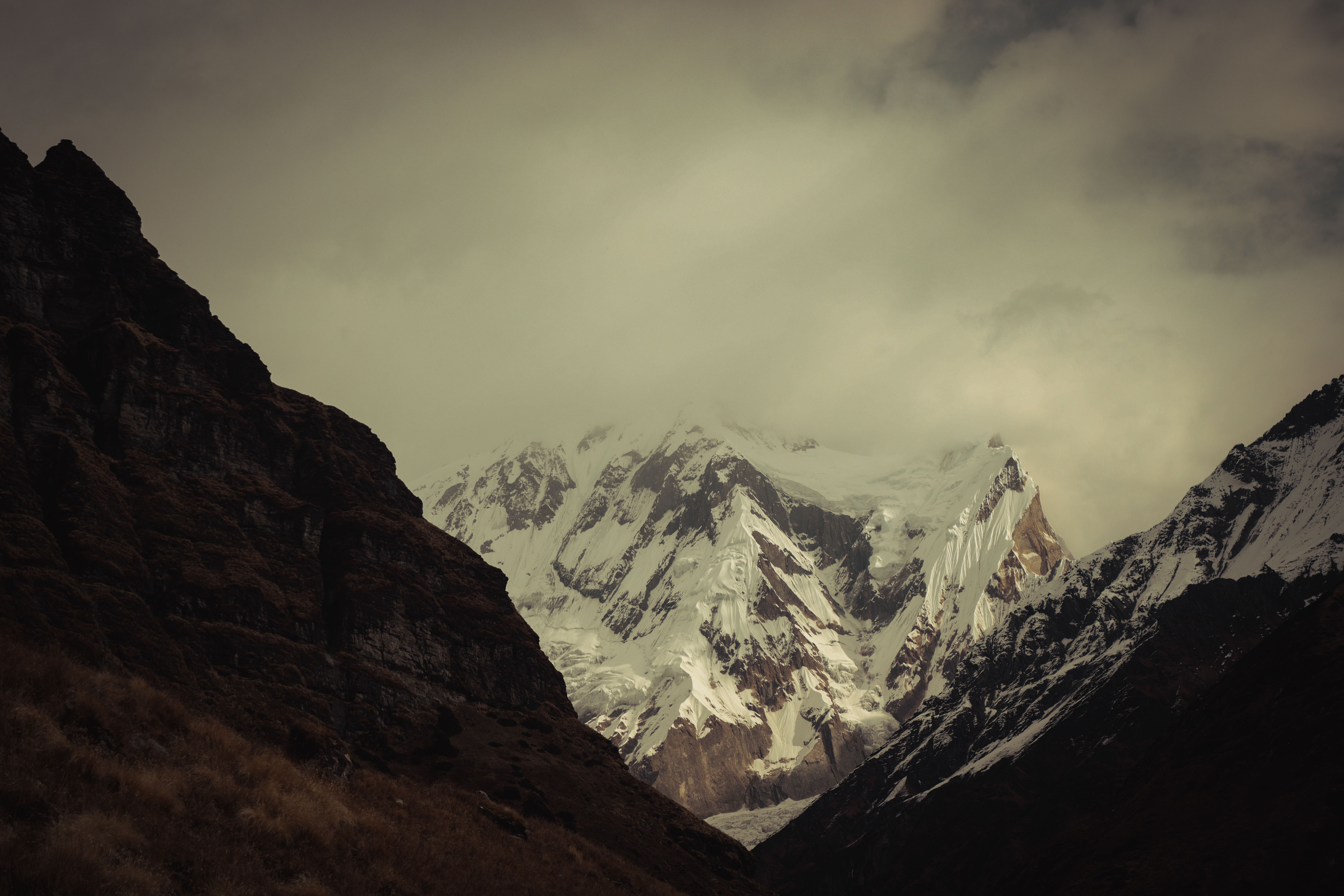
The summer monsoon brings heavy rain to most of the lower and middle circuit, muddy trails, leeches in the forest zones, and frequent landslide-related road closures on the access routes. We generally steer trekkers away from the standard circuit during these months.
There is one important exception. The upper sections beyond the main Himalayan crest, including Upper Mustang and the Jomsom-to-Muktinath stretch, sit in the Himalayan rain shadow and stay relatively dry. If you must travel in summer, those rain-shadow zones become premier destinations while the rest of Nepal floods. See our notes on the Annapurna Circuit during monsoon before committing.
Early September is still wet, but the back half of the month is transformative. As the monsoon retreats, the air clears, vegetation is lush and green, and crowds have not yet arrived. The pass is usually open and snow-free.
The risk in early September is lingering rain and the occasional washed-out road section on the drive in. From around the third week, conditions usually stabilize into excellent trekking. Read our September vs October comparison to fine-tune your dates.
October is the single most reliable month on the Annapurna Circuit. Skies are crisp and clear, mountain views are sharp, temperatures are moderate at altitude, and Thorong La is typically in its safest, most predictable state of the year.
The cost is popularity. The trail and lodges fill up, especially around the Dashain and Tihar festival period, so book accommodation and your flights early. We still rank October first for a reason; for deeper planning see our overview of trekking in October and why October works so well.
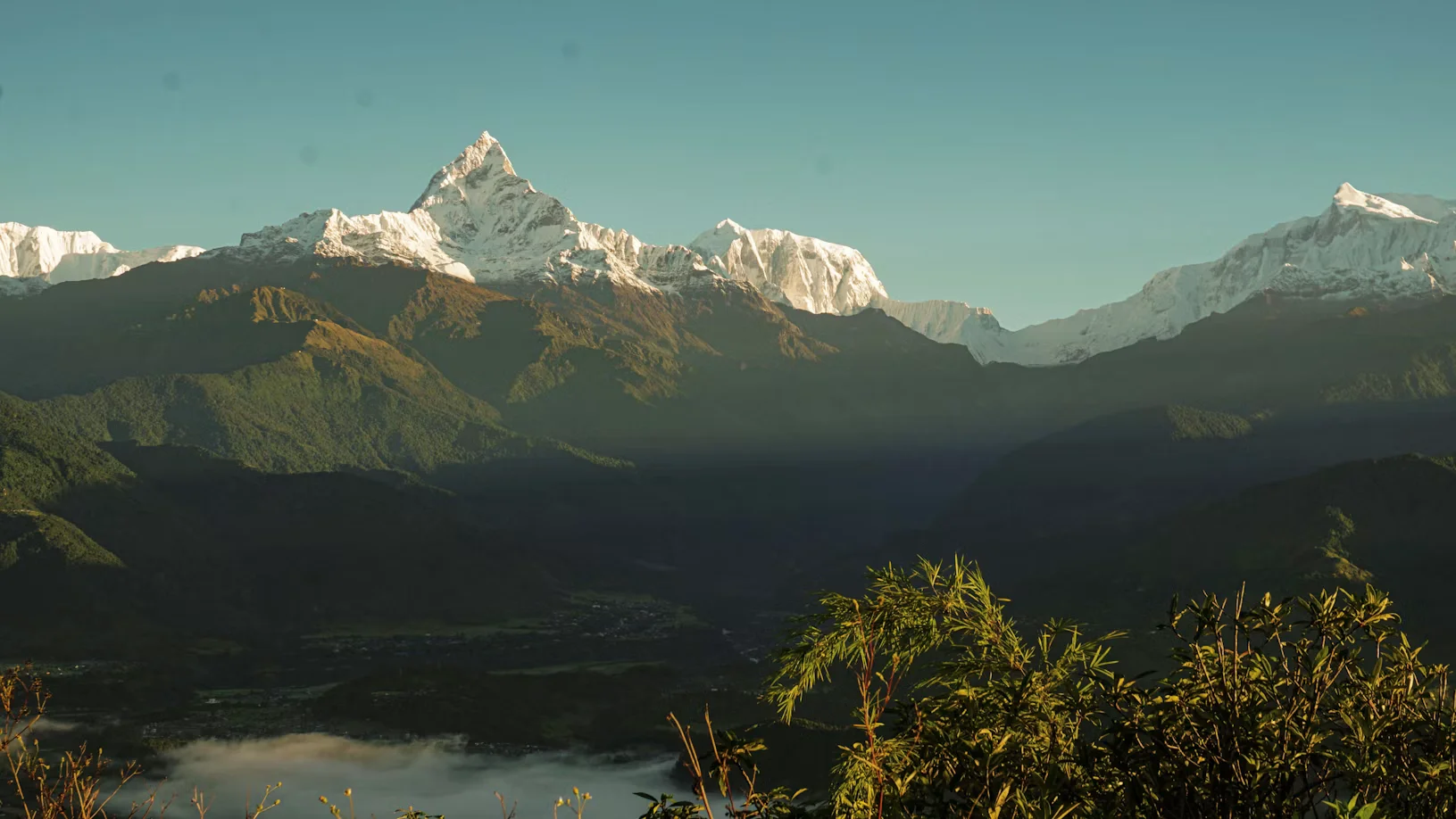
November keeps October's clear visibility while the crowds thin out. Air is dry and stable, peak views are arguably the cleanest of the year, and nights grow progressively colder as the month moves toward winter.
Late November can deliver bitterly cold pre-dawn temperatures on the pass and the first risk of early winter snowfall. If you want clear skies without October's crowds, mid-November is excellent.
December offers stunning clarity and quiet trails but demands cold-weather discipline. Lower-valley days remain walkable, while the pass section turns genuinely harsh and the first heavy snows can shut Thorong La with little warning.
Early December can still be done by well-prepared trekkers with flexible schedules; late December edges into full winter conditions where many high lodges close.
Use this matrix to match your priorities, whether that's clear views, quiet trails, or a reliable pass crossing.
The ultimate guide to planning your dream web travel adventure with the experts from myeasyguide.
Spam free. Unsubscribe anytime. We respect your privacy.
The Annapurna Circuit requires two permits: the Annapurna Conservation Area Permit (ACAP) and the official TIMS (Trekkers' Information Management System) card. Because independent trekking is banned, you cannot purchase the TIMS card on your own; it must be issued on your behalf by your registered trekking agency. These documents are checked thoroughly at staffed checkpoints along the route, including Dharapani and Chame.
The ACAP permit costs NPR 3,000 (around $23 USD) for foreign nationals, NPR 1,000 for SAARC nationals, and NPR 100 for Nepali citizens. The agency-issued TIMS card costs NPR 2,000 (around $15 USD) for foreigners and NPR 1,000 for SAARC nationals. For your visa on arrival at Tribhuvan International Airport, confirm current figures via our TIMS card guide and the broader trekking rules and cost overview.
For your visa on arrival, Nepal charges $30 USD for 15 days, $50 USD for 30 days, and $125 USD for 90 days. Carry passport photos for permit processing.

The Annapurna Conservation Area strictly enforces a mandatory licensed guide policy across all its trekking routes. Independent solo trekking is completely banned on the Annapurna Circuit. Trekkers are legally required to hire a licensed government guide through a registered Nepali trekking agency to pass the mandatory checkpoints at Dharapani and Chame.
A licensed guide is far more than a regulatory requirement on this route. They monitor live weather data and safety conditions for the Thorong La Pass crossing, carefully manage your pacing to prevent acute mountain sickness (AMS), and instantly rearrange logistics if the Marsyangdi access roads wash out or a flight out of Jomsom is grounded.
The Annapurna Circuit's biggest objective danger is altitude, not season. Above 3,000 meters, your sleeping elevation should not rise by more than 300 to 500 meters per day, and you must build in acclimatization rest days, especially at Manang (3,519 meters).
A standard safe itinerary includes at least one full rest day in Manang before pushing to Thorong Phedi and the pass. Day hikes to nearby viewpoints during that rest follow the climb-high, sleep-low principle. Learn the warning signs in our guides to altitude sickness and the use of Diamox for trekking.
Many trekkers add the spectacular Tilicho Lake side trip from Manang, which also doubles as superb acclimatization when paced correctly.
Standard travel insurance is not enough for this trek. You need a policy that specifically covers high-altitude emergency helicopter evacuation up to 6,000 meters and medical treatment for AMS, HAPE, and HACE.
Carry your policy number and the insurer's emergency line in writing. On the upper circuit, a fast helicopter evacuation can be the difference in a serious altitude emergency, and lodges cannot bill insurers directly.
Be honest with yourself about the jeep road. A dirt road now reaches deep into the Marsyangdi and Mustang valleys, and many trekkers ride a jeep over the dusty lower and final stages rather than walk beside traffic.
To reclaim the wilderness feel, follow the NATT (New Annapurna Trekking Trails) footpaths that branch away from the road on the higher sections around Pisang, Manang, and the descent to Jomsom. Your guide can route you onto these quieter paths to avoid dust and vehicles.
ATMs on the circuit, in Chame and Jomsom, are unreliable and frequently out of cash. Carry enough Nepalese Rupees from Kathmandu or Pokhara to cover the whole trek, including a buffer for emergencies.
Expect to pay extra for trail comforts that lodges do not include in the room rate. Charging a phone or power bank, a gas-heated hot shower, and Wi-Fi access typically cost an additional 200 to 700 NPR per service at higher elevations.
For SIM cards, Ncell gives strong coverage across most of the Annapurna Circuit and Sanctuary, making it our default recommendation for this region. Buy and register your SIM in Kathmandu or Pokhara before you start.
Prioritize the traditional Dal Bhat, lentil soup with rice and vegetable curry, which usually comes with free refills and gives clean, high-energy fuel for long climbing days. We advise leaning vegetarian at altitude, since meat is carried up by foot or mule over days without refrigeration.
Skip buying single-use plastic water bottles to protect the conservation area. Carry a reusable bottle paired with a UV purifier, a Sawyer squeeze filter, or chlorine dioxide drops for safe drinking water throughout.
The upper circuit passes through deeply Buddhist villages with mani walls, chortens, and stupas. Always walk clockwise around these sacred structures, keeping them on your right side as you pass.
Remove your shoes and hat before entering any monastery or temple. Outdoor photography is fine, but never photograph inside monastery prayer halls unless a resident monk gives you explicit permission.
Tipping is culturally expected and forms a vital part of your guide's and porters' income. A standard practice is to set aside roughly 10% to 15% of your total trek cost, distributed among the crew at the end of the trip, scaled to the length and difficulty of your route.
If you want the safest, clearest experience and don't mind company, aim for October or mid-November. If you prefer warmth, blooms, and slightly fewer trekkers, target late April. If you can only travel in summer, redirect to the rain-shadow regions instead of the full standard circuit.
Whatever month you pick, build flexibility for the pass. Thorong La can shift from straightforward to risky within a day, and a buffer day in Manang or Thorong Phedi keeps your trip safe. For broader regional planning, compare options in our Annapurna vs Everest Base Camp guide and explore Pokhara's best time to visit if you're planning rest days before or after.
Yes. Under the regulations enforced by the Nepal Tourism Board (NTB) and the Trekking Agencies' Association of Nepal (TAAN), independent solo trekking is banned on the Annapurna Circuit. All foreign trekkers must be accompanied by a licensed government guide hired through a registered Nepalese trekking agency to pass the trail checkpoints.
Because independent trekking is not permitted, you cannot apply for the TIMS card on your own. Your registered trekking agency must handle the paperwork and issue both the TIMS card and the Annapurna Conservation Area Permit (ACAP) on your behalf before you head to the trailhead.
You must start your ascent from Thorong Phedi or High Camp early—typically between 3:00 AM and 4:00 AM. The hard deadline is to reach the summit (5,416 meters) and begin your descent before 10:00 AM. By midday, high-altitude winds between the peaks create dangerously strong gales that make navigating the pass unsafe.
You should spend a minimum of two nights (one full rest day) in Manang (3,519m). Rushing past this point is the single most common reason trekkers develop acute mountain sickness (AMS) and fail to cross the pass. Use your rest day for active "climb high, sleep low" acclimatization hikes to nearby viewpoints or Ice Lake.
Do not rely on them. While there are bank machines in Chame and Jomsom, they are frequently out of cash, offline due to power cuts, or uncooperative with foreign cards. Withdraw all the Nepalese Rupees you need in Kathmandu or Pokhara before starting, and carry a 20% emergency cash buffer.
No. To protect the fragile alpine ecosystem, single-use plastic water bottles are banned throughout the Annapurna Conservation Area. Bring a durable, reusable 1-liter bottle or water bladder and pair it with a high-quality purification system like a Sawyer Squeeze filter, a UV purifier, or chlorine dioxide drops.
While your basic room and meals are included in standard packages or relatively cheap, tea houses charge extra for modern comforts. Expect to pay between 200 to 700 NPR per service for gas-heated hot showers, charging your devices or power banks, and accessing local Wi-Fi networks.
If heavy snow hits the upper valley, do not attempt the pass. The trail can vanish under fresh drifts within minutes, making navigation impossible. Listen to your guide's assessment; it is always safer to wait out the weather at your lodge or safely descend back toward Manang if a storm sets in.