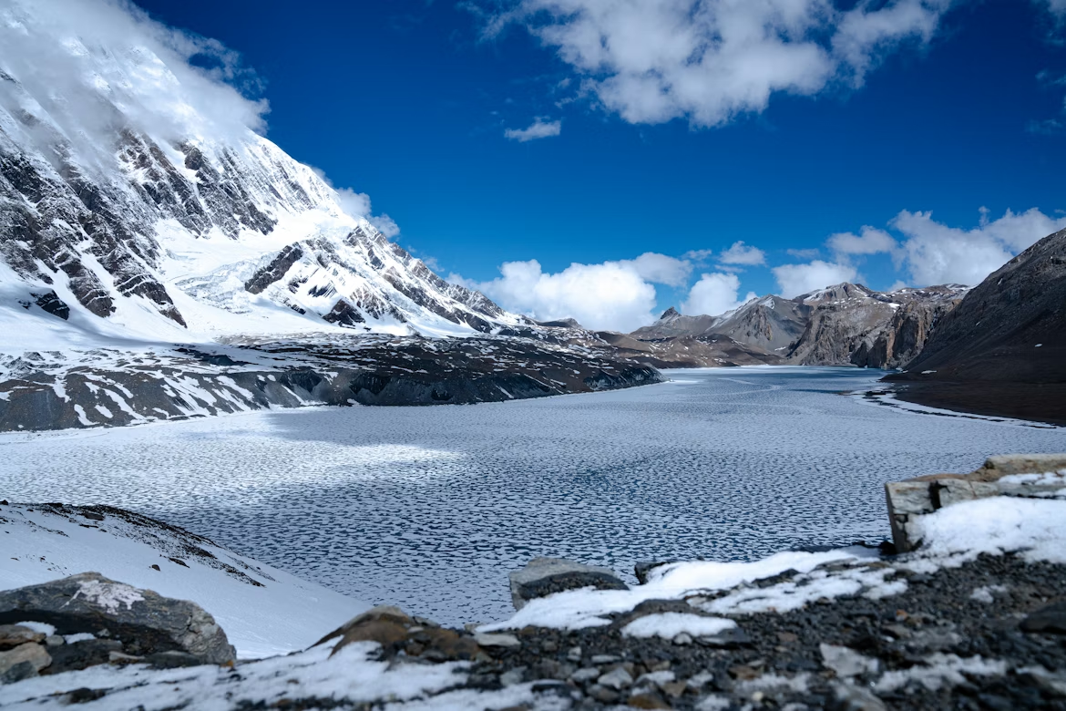
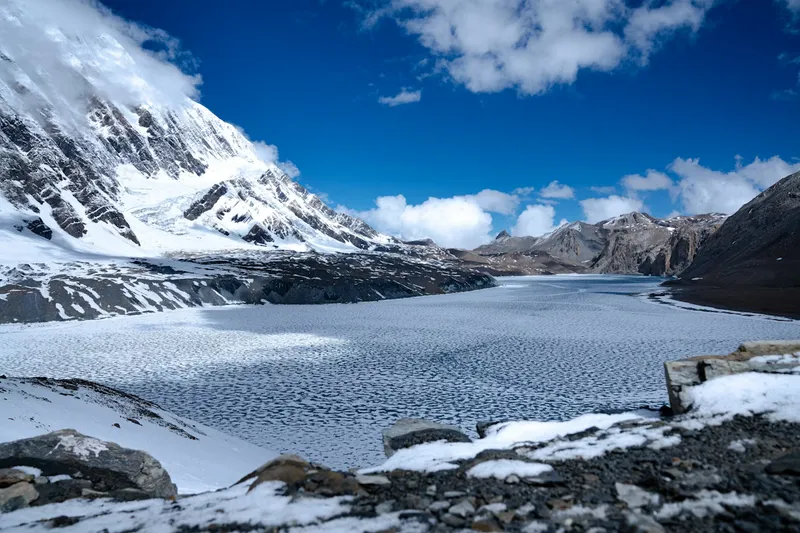
The first time you crest the ridge above Tilicho Base Camp and the turquoise sheet of water appears against a wall of ice, the cold air punches you in the chest. At 4,919 meters (16,138 feet), Tilicho Lake is one of the highest large alpine lakes on Earth, frozen for much of the year and ringed by the peaks of the Annapurna and Manaslu ranges. Reaching it is not a simple day stroll, it is a serious high-altitude detour off the classic Annapurna Circuit, and it rewards trekkers who respect the mountain.
This guide reflects how our local coordinators and licensed guides run the route in 2026: the real permit costs, the notorious landslide section, the acclimatization math, and exactly when to go.
Tilicho Lake Trek At A Glance
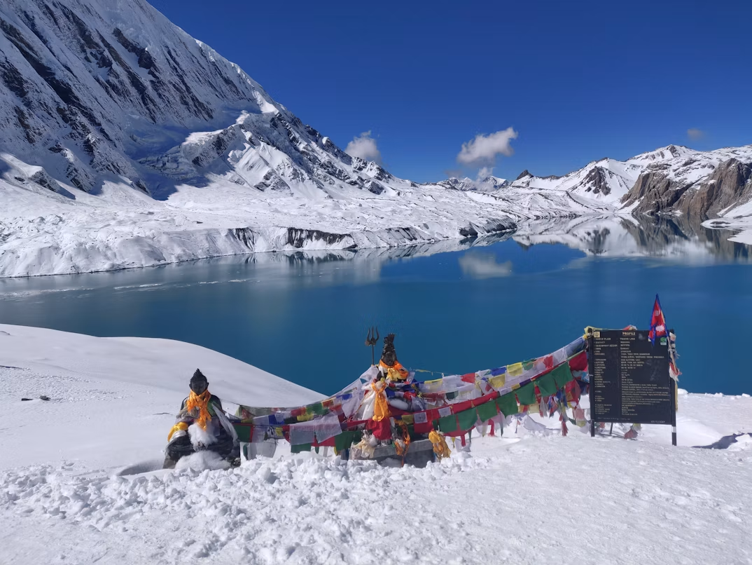
Source: Sanjay Hona, Vibrant turquoise waters of Tilicho Lake with Buddhist prayer flags and snowy Annapurna Himalayan peaks.
Tilicho Lake is a high-altitude glacial lake at 4,919 meters in Nepal's Manang district, reached via a side trip from the Annapurna Circuit. The trek requires the ACAP permit and e-TIMS card, takes roughly 10 to 14 days depending on your route, and crosses an exposed landslide zone before Tilicho Base Camp.
A little inspiration for your next trip
Get travel ideas and local experiences from My Easy Guide in your inbox.
Spam free. Unsubscribe anytime. We respect your privacy.
Feature
Detail
Maximum elevation
4,919 m (Tilicho Lake)
Region
Annapurna / Manang district
Permits
ACAP + e-TIMS
Total duration
10–14 days
Difficulty
Strenuous (altitude + exposure)
Best seasons
Spring (Mar–May), Autumn (Sep–Nov)
Start point
Besisahar / Chame (by jeep)
Permits & Costs For 2026
Tilicho Lake sits inside the Annapurna Conservation Area but is NOT a Restricted Area, so you do not need a special RAP. You need two documents: the ACAP permit and the e-TIMS card. Both the ACAP permit and TIMS card must be arranged through a registered trekking agency, and a licensed guide is mandatory for this route, TIMS cannot be issued for the Tilicho/Mesokanto route without one.
Permit
Foreigner
SAARC
ACAP permit
NPR 3,000 (~$23 USD)
NPR 1,000
e-TIMS card
NPR 2,000 (~$15 USD)
NPR 1,000
Your Nepal tourist visa is separate: $30 USD for 15 days, $50 USD for 30 days, and $125 USD for 90 days on arrival at Kathmandu airport. For the full breakdown of national trekking fees, see our overview of Nepal trekking rules and costs and our dedicated TIMS card guide.
The Route: Besisahar To Tilicho And Back
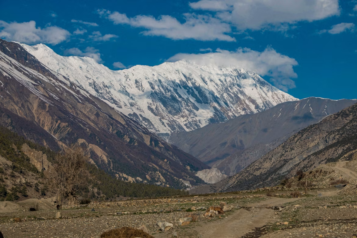
Source: Kabi Acharya, A rugged mountain trekking path offering views of towering snow-capped peaks in the high-altitude trans-Himalayan region leading to lake tilicho.
The standard approach follows the lower Annapurna Circuit from Besisahar or Chame up to Manang, then branches west to Khangsar, Tilicho Base Camp, and the lake. Most trekkers either return the same way or continue over the Thorong La pass (5,416 m) to Muktinath, turning this into a grand high-altitude loop.
Avoiding The Jeep Road
The Annapurna Circuit road now reaches deep into the valley, and walking on dusty jeep tracks is miserable. Use the NATT trails (New Annapurna Trekking Trails) wherever possible, these footpaths run parallel to the road through forest and old villages, away from vehicle traffic and dust. Your guide will know each junction.
Sample Itinerary
This schedule respects safe acclimatization. Above 3,000 m, your sleeping elevation should rise no more than 300–500 m per day, with rest days built in.
Day
Route
Elevation
1
Drive Kathmandu/Pokhara to Chame
2,670 m
2
Chame to Upper Pisang
3,300 m
3
Pisang to Manang (upper trail)
3,540 m
4
Acclimatization day in Manang
3,540 m
5
Manang to Khangsar
3,734 m
6
Khangsar to Tilicho Base Camp
4,150 m
7
Tilicho Lake & return to Base Camp
4,919 m
8
Base Camp to Yak Kharka
4,050 m
9
Yak Kharka to Thorong Phedi
4,450 m
10
Thorong La to Muktinath
5,416 m / 3,760 m
Add 1–2 buffer days for weather and slow acclimatization. If you only want the lake, you can return from Tilicho Base Camp toward Manang and exit without crossing the pass.
The Landslide Section: The Real Danger
Between Khangsar and Tilicho Base Camp lies a steep, loose scree slope, a constantly shifting landslide zone that is the most hazardous part of the entire trek. The trail crosses bare rock and gravel with active rockfall, and there is no easy way around it.
Cross this section early in the morning, ideally before 9:00 AM, while the slope is still cold and stable. As the sun warms the rock, melting ice loosens stones. Move steadily, keep spacing between trekkers, do not stop in the middle, and follow your guide's pace. This single stretch is the strongest reason we insist on an experienced licensed guide for Tilicho.
Altitude & Acclimatization
Tilicho's 4,919 m elevation puts you firmly in altitude-sickness territory. Acute Mountain Sickness (AMS) can affect anyone regardless of fitness. The mandatory acclimatization day at Manang (3,540 m) is non-negotiable, use it for a hike up to higher ground and back down to sleep low.
Watch for headaches, nausea, dizziness and loss of appetite. If symptoms worsen, descend immediately. Many trekkers carry Diamox (acetazolamide) as a preventive aid, but it is not a substitute for slow ascent. Read our full guide to recognizing and managing altitude sickness before you go.
Helicopter Evacuation Insurance Is Mandatory
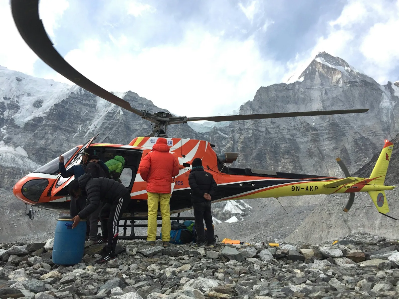
Helicopter used for transfering people and goods in the mountain region
Standard travel insurance is not enough for this trek. You must carry a policy that explicitly covers high-altitude emergency helicopter evacuation up to 6,000 m and medical treatment for AMS, HAPE and HACE. A rescue flight off the mountain can cost thousands of dollars out of pocket without proper cover. Confirm the altitude clause in writing before departure.
Best Season For Tilicho Lake
The two prime windows are spring (March–May) and autumn (September–November), when skies are clearest and the trails are open. The lake itself is frozen solid through winter and only fully thaws in summer, so timing changes what you actually see.
Season
Conditions
Spring (Mar–May)
Stable weather, lake partly frozen, rhododendron blooms lower down
Autumn (Sep–Nov)
Clearest skies, best mountain views, busiest trails
Winter (Dec–Feb)
Frozen lake, snow on the landslide section, many lodges closed, very cold
Monsoon (Jun–Aug)
Rain, leeches and landslides on the lower trail — not recommended for Tilicho
If your heart is set on summer trekking, the rain-shadow regions of Upper Mustang and Upper Dolpo stay dry while the Annapurna lower valleys flood. Compare your timing with our breakdown of September versus October and the broader October trekking conditions.
Cash, Connectivity & Trail Costs
Carry enough Nepalese Rupees (NPR) in cash for the entire trek. Reliable ATMs run out around Chame and Manang, assume nothing works past that point. Budget for the small but constant extras: charging a phone or power bank, a gas-heated hot shower, and lodge Wi-Fi each typically cost an extra NPR 200 to 700 per use.
For SIM cards, Ncell gives the most reliable coverage across the Annapurna Circuit and Manang valley, though signal fades near the lake and the pass. Pick up a SIM in Kathmandu or Pokhara with your passport. For a deeper look at on-trail pricing, see our guide to Nepal trek amenities and costs.
Food & Water On The Trail
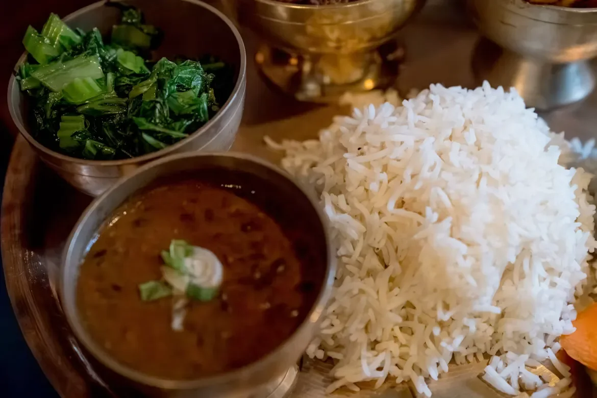
Source: Frederick Shaw / Unsplash, Fuel for the trek: A classic, nutrient-dense Nepalese Dal Bhat platter, the ultimate staple meal for hikers in the Himalayas.
Stick to fresh, locally grown carbohydrates at altitude. The classic Dal Bhat (lentil soup, rice and vegetable curry) comes with free refills and is the cleanest high-energy fuel on the mountain. We advise prioritizing vegetarian meals; meat is carried up by foot or mule over days without refrigeration.
Never buy single-use plastic water bottles on the trail. Carry a reusable bottle paired with a purification system, a UV purifier, a Sawyer squeeze filter, or chlorine dioxide drops. This protects both your stomach and the fragile alpine environment. Browse our teahouse food guide for what to expect at each stop.
What To Pack
You need genuine four-season layering for nights that drop well below freezing at Base Camp. A warm down jacket, a quality sleeping bag rated to -10°C or colder, sturdy broken-in boots, microspikes for icy patches, and trekking poles are essentials. Sun protection matters too, the high-altitude UV at 4,919 m is brutal.
The Manang valley is deeply Buddhist, and the trail is dotted with mani walls, chortens and prayer wheels. Always walk clockwise around these sacred structures, keeping them on your right side. Remove your shoes and hat before entering any monastery, and never photograph inside prayer halls unless a resident monk gives clear permission.
Tipping Your Crew
Tipping is culturally expected and forms a vital part of your guide's and porter's income. At the end of the trek, plan to distribute roughly 10% to 15% of the total trek cost among the crew, handed over directly with a thank-you. It is a meaningful gesture after they have carried loads and kept you safe across the landslide section.
Tilicho Lake sits at 4,919 meters (16,138 feet) in the Manang district, making it one of the highest large alpine lakes in the world.
Can I trek to Tilicho Lake solo in 2026?
No. The Nepal Tourism Board's TIMS provision explicitly lists the Tilicho/Mesokanto route as one requiring a licensed trekking guide and an agency-issued TIMS card. Unguided solo trekking here is not permitted, and the dangerous landslide section makes a licensed guide essential for safety as well as compliance.
What permits do I need?
You need the ACAP permit (NPR 3,000 for foreigners) and the e-TIMS card (NPR 2,000 for foreigners). Both are arranged through a registered agency in Kathmandu or Pokhara.
How long does the Tilicho Lake trek take?
Plan for 10 to 14 days including travel, depending on whether you return the same way or cross the Thorong La pass to Muktinath.
Is there a landslide risk on the trail?
Yes. The scree slope between Khangsar and Tilicho Base Camp is an active landslide zone. Cross it before 9:00 AM while the rock is cold and stable, and never stop in the middle.
Is Tilicho Lake frozen?
The lake is frozen through winter and into spring, and only fully thaws in summer. In autumn you may see a mix of ice and open turquoise water.
Do I need special insurance?
Yes. You must have insurance that explicitly covers helicopter evacuation up to 6,000 m and treatment for AMS, HAPE and HACE. Standard travel insurance is not enough.
Are there ATMs on the route?
Do not rely on them past Chame and Manang. Carry enough NPR cash for the entire trek, including charging, showers and Wi-Fi extras of NPR 200 to 700 each.
Which SIM card works best?
Ncell gives the strongest coverage across the Annapurna Circuit and Manang, though signal weakens near the lake and the high pass.
What is the best month to go?
October offers the clearest skies and best mountain views. April and May are also excellent, with stable weather and blooming rhododendrons lower down.
How cold does it get at Tilicho Base Camp?
Nights routinely drop below freezing. Bring a sleeping bag rated to -10°C or colder and a proper down jacket.
Can I combine Tilicho with the Thorong La pass?
Yes, and many trekkers do. After visiting the lake, they continue over the Thorong La (5,416 m) to Muktinath for a complete high-altitude circuit.